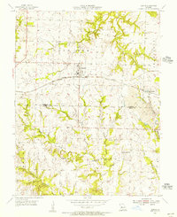
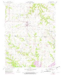
1955 Map of Leeton
USGS Topo · Published 1956About this map
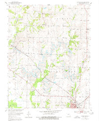
Leeton serves as the central hub of this mid-century agricultural and industrial landscape on the border of Johnson and Henry Counties. The town is situated at the junction of significant rail infrastructure, including the Chicago Missouri and Texas Pacific and the Kansas Rock Island and Texas lines. This connectivity supported the local economy, which is characterized here by a mix of farming and resource extraction, notably the Strip Mine operations in the southeastern quadrant near New Castle.
Find a feature on this map
30 named features on this map. Tap any name to fly to it.
Don’t see what you’re looking for? This feature index may not catch every label — zoom into the map to look around manually.
Map Details
Editions of this 1955 Leeton Map
2 editions found
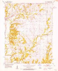
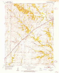
Other maps of this area

1885 · Warrensburg
USGS Topo · 1:125,000

1887 · Clinton
USGS Topo · 1:125,000

1887 · Warrensburg
USGS Topo · 1:125,000

1894 · Warrensburg
USGS Topo · 1:125,000

1894 · Clinton
USGS Topo · 1:125,000

1947 · Jefferson City
USGS Topo · 1:250,000
1953 · Calhoun East
USGS Topo · 1:24,000
1953 · Calhoun West
USGS Topo · 1:24,000
1953 · Clinton North
USGS Topo · 1:24,000

1954 · Jefferson City
USGS Topo · 1:250,000