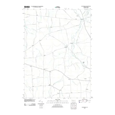
2010 Map of Centerville
USGS Topo · Published 2010About this map
Centerville anchors this rural landscape, situated at a major crossroads where the northern reaches of Oil Creek and East Branch Oil Creek converge. The area is defined by a dense network of family-named corners, suggesting a long history of local land ownership and small-scale community hubs. Notable clusters include Drake Corners, Whitman Corners, and Wheelock Corners, which are linked by an intricate grid of backroads like Shauberger Rd and Grange Hall Rd.
Find a feature on this map
83 named features on this map. Tap any name to fly to it.
Don’t see what you’re looking for? This feature index may not catch every label — zoom into the map to look around manually.
Map Details
Editions of this 2010 Centerville Map
This is the sole edition of this map. No revisions or reprints were ever made.
Other maps of this area

1927 · Townville
USGS Topo · 1:48,000

1927 · Titusville
USGS Topo · 1:62,500

1929 · Corry
USGS Topo · 1:48,000

1929 · Union City
USGS Topo · 1:62,500

1932 · Corry
USGS Topo · 1:62,500

1932 · Townville
USGS Topo · 1:62,500

1932 · Union City
USGS Topo · 1:62,500

1933 · Titusville
USGS Topo · 1:62,500

1945 · Townville
USGS Topo · 1:62,500

1957 · Warren
USGS Topo · 1:250,000