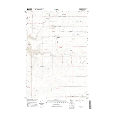
2013 Map of Centerville
USGS Topo · Published 2013About this map
Klickitat Valley agriculture and ranching define this portion of the Pacific Northwest, where the Little Klickitat River carves through the basalt-tiered landscape. The settlement of Centerville sits at the southern edge of the quadrangle near Swale Creek, while the community of Blockhouse remains a focal point to the north. These locales are connected by a network of rural roads, many bearing family names like Harris Rd and Finn Ridge Rd, reflecting the generational homesteading history of the region.
Find a feature on this map
53 named features on this map. Tap any name to fly to it.
Don’t see what you’re looking for? This feature index may not catch every label — zoom into the map to look around manually.
Map Details
Editions of this 2013 Centerville Map
This is the sole edition of this map. No revisions or reprints were ever made.
Other maps of this area

1934 · The Dalles
USGS Topo · 1:125,000

1953 · The Dalles
USGS Topo · 1:250,000

1956 · The Dalles
USGS Topo · 1:250,000

1957 · The Dalles
USGS Topo · 1:250,000

1957 · Klickitat
USGS Topo · 1:62,500

1957 · Goldendale
USGS Topo · 1:62,500

1957 · The Dalles
USGS Topo · 1:62,500

1957 · Wishram
USGS Topo · 1:62,500

1974 · Stacker Butte
USGS Topo · 1:24,000
1977 · Wishram
USGS Topo · 1:24,000