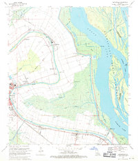
1969 Map of Centerville
USGS Topo · Published 1971About this map
Bayou Teche winds through the heart of St. Mary Parish, anchoring a string of historic communities including Franklin, Garden City, and Centerville. This late-1960s landscape is defined by the transition from the fertile natural levees to the expansive wetlands of the Atchafalaya Basin Floodway. The map details a complex water management system featuring the Hanson Canal, Verdunville Canal, and numerous pumping stations that protected these settlements and their agricultural lands.
Find a feature on this map
48 named features on this map. Tap any name to fly to it.
Don’t see what you’re looking for? This feature index may not catch every label — zoom into the map to look around manually.
Map Details
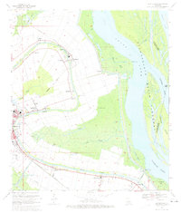
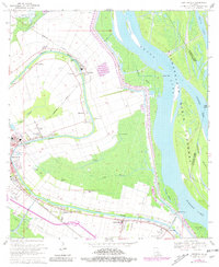
Editions of this 1969 Centerville Map
3 editions found
Other maps of this area

1937 · Bayou Sale
USGS Topo · 1:62,500

1937 · Jeanerette
USGS Topo · 1:62,500

1941 · Belle Isle
USGS Topo · 1:62,500

1945 · New Orleans
USGS Topo · 1:250,000

1948 · Foster
USGS Topo · 1:62,500

1954 · Jeanerette
USGS Topo · 1:62,500

1954 · Belle Isle
USGS Topo · 1:62,500

1957 · Bayou Sale
USGS Topo · 1:62,500

1959 · Foster
USGS Topo · 1:62,500

1963 · New Orleans
USGS Topo · 1:250,000