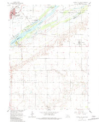
1962 Map of Central City East
USGS Topo · Published 1983About this map
The Platte River dominates this mid-century landscape, carving out a complex system of braided channels and named islands including Prairie Island, Long Island, and Cedar Island. To the north, the Union Pacific railroad corridor anchors Central City, which serves as a vital hub near the Warm Slough. The rural character of the region is defined by widely dispersed community landmarks such as Hord Sch, Mamre Ch, and the Mt Zion Cem south of the river bluffs.
Find a feature on this map
34 named features on this map. Tap any name to fly to it.
Don’t see what you’re looking for? This feature index may not catch every label — zoom into the map to look around manually.
Map Details
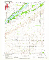
Editions of this 1962 Central City East Map
2 editions found
Other maps of this area

1896 · Stromsburg
USGS Topo · 1:125,000

1898 · York
USGS Topo · 1:125,000

1898 · Grand Island
USGS Topo · 1:125,000

1899 · St. Paul
USGS Topo · 1:125,000

1899 · York
USGS Topo · 1:125,000

1955 · Broken Bow
USGS Topo · 1:250,000

1955 · Fremont
USGS Topo · 1:250,000

1955 · Lincoln
USGS Topo · 1:250,000

1955 · Grand Island
USGS Topo · 1:250,000

1956 · Broken Bow
USGS Topo · 1:250,000