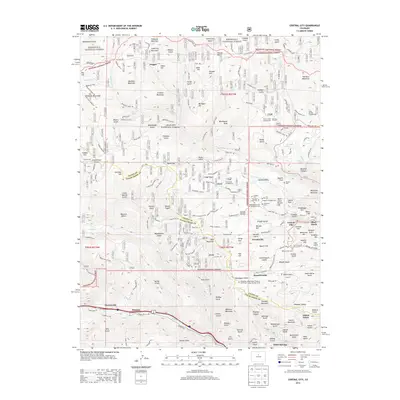
2013 Map of Central City
USGS Topo · Published 2013About this map
Central City and Black Hawk anchor this high-altitude landscape along the border of Gilpin and Clear Creek counties, showing a region defined by its deep mining heritage. The area is dense with legacy sites, particularly around Nevadaville and the settlement of Russell Gulch. The steep terrain between Mount Pisgah and Maryland Mountain is marked by an extensive network of specialized routes like Bald Mountain Rd and the Rarus Triangle, which historically connected the numerous gulches and mines. Genealogists will find exceptional detail in the cluster of historic burial grounds near the city centers, including the Masonic Cem, Catholic Cem, and the Independent Order of Oddfellows Cem. To the west, the map transitions into the preserved acreage of Arapaho National Forest, where features like Pisgah Lake and Columbine Campground sit among the peaks of the Front Range.
Find a feature on this map
155 named features on this map. Tap any name to fly to it.
Don’t see what you’re looking for? This feature index may not catch every label — zoom into the map to look around manually.
Map Details
Editions of this 2013 Central City Map
This is the sole edition of this map. No revisions or reprints were ever made.
Other maps of this area

1899 · West Denver
USGS Topo · 1:125,000

1903 · Georgetown
USGS Topo · 1:62,500

1905 · Central City
USGS Topo · 1:62,500

1905 · Georgetown
USGS Topo · 1:62,500

1906 · Blackhawk
USGS Topo · 1:62,500

1910 · Central City
USGS Topo · 1:62,500

1912 · Central City
USGS Topo · 1:62,500

1942 · Nederland
USGS Topo · 1:24,000

1942 · Central City
USGS Topo · 1:24,000

1942 · Tungsten
USGS Topo · 1:24,000
Featured Places
- Idaho Springs, CO
- Black Hawk, CO
- Gilson Gulch, CO
- Pickle Gulch Group Campground, CO
- Columbine Campground, CO