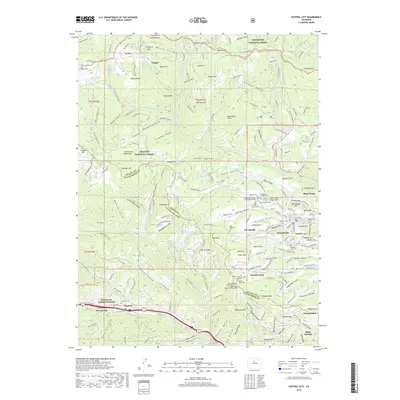
2019 Map of Central City
USGS Topo · Published 2019About this map
Central City and Black Hawk serve as the historic anchors of this mountain landscape, which is marked by a high concentration of mining-era infrastructure and fraternal organization burial grounds. Numerous family and community landmarks are scattered across the gulches, including Nevadaville and the now-quiet site of Nugget. The terrain is defined by its deep vertical history, with named hills like Maryland Mtn and Aunt Clara Brown Hill rising above a network of old mining routes such as Old Tram RD and Wellington Mine RD. Along the southern edge, the settlement corridor of Dumont and Downieville follows the path of Clear Creek, while the higher elevations are preserved within the Roosevelt National Forest and Arapaho National Forest. Extensive cemeteries like the Masonic Cem, Central City Cem, and the Rocky Mountain Independent Order of Oddfellows Lodge Number 2 Cem provide essential data for those tracing the lineage of early mining families in this region.
Find a feature on this map
176 named features on this map. Tap any name to fly to it.
Don’t see what you’re looking for? This feature index may not catch every label — zoom into the map to look around manually.
Map Details
Editions of this 2019 Central City Map
This is the sole edition of this map. No revisions or reprints were ever made.
Other maps of this area

1899 · West Denver
USGS Topo · 1:125,000

1903 · Georgetown
USGS Topo · 1:62,500

1905 · Central City
USGS Topo · 1:62,500

1905 · Georgetown
USGS Topo · 1:62,500

1906 · Blackhawk
USGS Topo · 1:62,500

1910 · Central City
USGS Topo · 1:62,500

1912 · Central City
USGS Topo · 1:62,500

1942 · Nederland
USGS Topo · 1:24,000

1942 · Central City
USGS Topo · 1:24,000

1942 · Tungsten
USGS Topo · 1:24,000
Featured Places
- Idaho Springs, CO
- Black Hawk, CO
- Gilson Gulch, CO
- Pickle Gulch Group Campground, CO
- Columbine Campground, CO