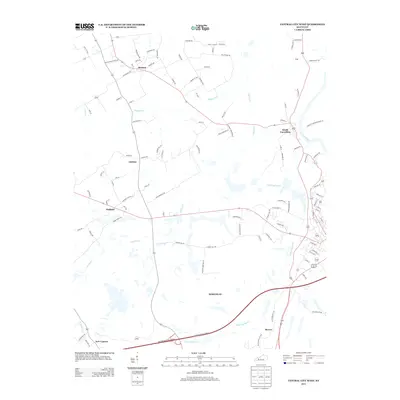
2013 Map of Central City West
USGS Topo · Published 2013About this map
Bremen and South Carrollton anchor the northern landscape of this Western Kentucky region, where the winding Green River meets a network of slow-moving waterways. The terrain is defined by the extensive drainage basins of Muddy Fork, Cypress Cr, and Little Cypress Cr, creating a complex wetland environment that has influenced the layout of local infrastructure. Small family-named corridors such as Whitmer Anderson Rd and Reed Cemetery Ln connect these rural settlements, reflecting a long history of local land use and community connectivity.
Find a feature on this map
105 named features on this map. Tap any name to fly to it.
Don’t see what you’re looking for? This feature index may not catch every label — zoom into the map to look around manually.
Map Details
Editions of this 2013 Central City West Map
This is the sole edition of this map. No revisions or reprints were ever made.
Other maps of this area

1909 · Madisonville
USGS Topo · 1:62,500

1909 · Central City
USGS Topo · 1:62,500

1911 · Drakesboro
USGS Topo · 1:48,000

1912 · Nortonville
USGS Topo · 1:62,500

1913 · Drakesboro
USGS Topo · 1:62,500

1952 · Equality
USGS Topo · 1:24,000

1952 · Livermore
USGS Topo · 1:24,000

1952 · Sacramento
USGS Topo · 1:24,000

1952 · Greenville
USGS Topo · 1:24,000

1953 · Drakesboro
USGS Topo · 1:24,000