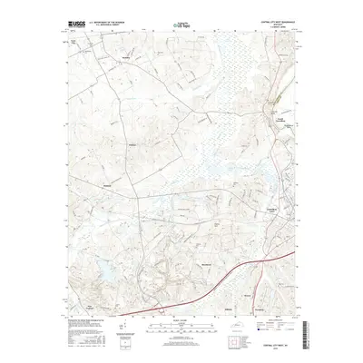
2016 Map of Central City West
USGS Topo · Published 2016About this map
The Green River defines the northeastern boundary of this Muhlenberg County landscape, carving through Fentress Bluff and the sharp Shrewsbury Bend. This area of Kentucky is characterized by its extensive wetland networks, dominated by Cypress Cr and its tributaries, which feed into larger bodies like Cypress Pond and Little Cypress Cr. The settlement pattern follows the higher ground between these waterways, anchored by the community of Bremen in the north and the outskirts of Central City and Powderly to the south.
Find a feature on this map
99 named features on this map. Tap any name to fly to it.
Don’t see what you’re looking for? This feature index may not catch every label — zoom into the map to look around manually.
Map Details
Editions of this 2016 Central City West Map
This is the sole edition of this map. No revisions or reprints were ever made.
Other maps of this area

1909 · Madisonville
USGS Topo · 1:62,500

1909 · Central City
USGS Topo · 1:62,500

1911 · Drakesboro
USGS Topo · 1:48,000

1912 · Nortonville
USGS Topo · 1:62,500

1913 · Drakesboro
USGS Topo · 1:62,500

1952 · Equality
USGS Topo · 1:24,000

1952 · Livermore
USGS Topo · 1:24,000

1952 · Sacramento
USGS Topo · 1:24,000

1952 · Greenville
USGS Topo · 1:24,000

1953 · Drakesboro
USGS Topo · 1:24,000