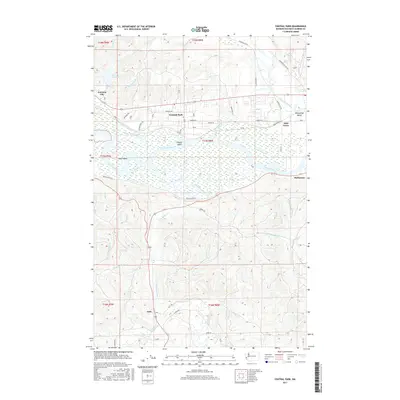
2017 Map of Central Park
USGS Topo · Published 2017About this map
Central Park and the lower Chehalis River basin define this landscape where riverine sloughs and forested hills meet. This 2017 survey shows the intricate drainage systems of the Wynoochee River and Little North River, revealing how water has shaped the settlement patterns of Grays Harbor County. The map details a network of islands and waterways, including Higgins Island and Sand Island, set against the backdrop of the tidally influenced river.
Find a feature on this map
53 named features on this map. Tap any name to fly to it.
Don’t see what you’re looking for? This feature index may not catch every label — zoom into the map to look around manually.
Map Details
Editions of this 2017 Central Park Map
This is the sole edition of this map. No revisions or reprints were ever made.
Other maps of this area

1940 · Montesano
USGS Topo · 1:62,500

1941 · Mobray
USGS Topo · 1:62,500

1943 · Humptulips
USGS Topo · 1:62,500

1943 · Mobray
USGS Topo · 1:62,500

1953 · Hoquiam
USGS Topo · 1:250,000

1955 · Montesano
USGS Topo · 1:62,500

1955 · Wynoochee Valley
USGS Topo · 1:62,500

1955 · Humptulips
USGS Topo · 1:62,500

1955 · Aberdeen SE
USGS Topo · 1:24,000

1957 · Hoquiam
USGS Topo · 1:250,000