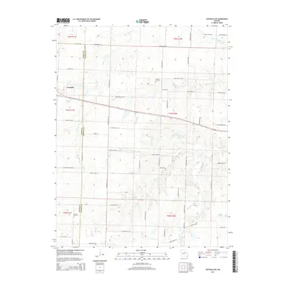
2014 Map of Centralia NE
USGS Topo · Published 2014About this map
The town of Centralia sits at the western edge of this landscape where the borders of Boone and Audrain counties meet. The area is defined by a dendritic network of streams including Youngs Cr and Skull Lick Cr, which flow through a countryside organized by a rigid grid of rural roads like Audrain Road 224 and E Co Line Rd. The terrain features notable local landmarks such as Possum Walk and the Kon-Tiki Reservoir.
Find a feature on this map
65 named features on this map. Tap any name to fly to it.
Don’t see what you’re looking for? This feature index may not catch every label — zoom into the map to look around manually.
Map Details
Editions of this 2014 Centralia NE Map
This is the sole edition of this map. No revisions or reprints were ever made.
Other maps of this area

1890 · Mexico
USGS Topo · 1:125,000

1890 · Moberly
USGS Topo · 1:125,000

1932 · Mexico
USGS Topo · 1:62,500

1945 · Florida
USGS Topo · 1:62,500

1945 · Centralia
USGS Topo · 1:62,500

1948 · Quincy
USGS Topo · 1:250,000

1953 · Moberly
USGS Topo · 1:250,000

1954 · Moberly
USGS Topo · 1:250,000

1956 · Quincy
USGS Topo · 1:250,000

1957 · Moberly
USGS Topo · 1:250,000