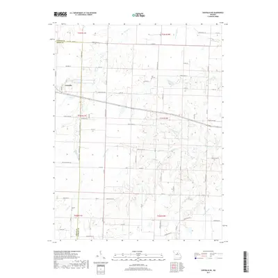
2017 Map of Centralia NE
USGS Topo · Published 2017About this map
Centralia anchors the northwestern corner of this landscape where the borders of Audrain and Boone counties meet. The terrain is defined by a dense dendritic drainage system, with numerous creeks including Youngs Creek, Skull Lick Creek, and Possum Walk Creek carving through the agricultural sections. This 2017 survey illustrates the persistent rural character of the region, where the industrial presence of Wabash Lake near the town center contrasts with the quiet, isolated locations of the Skull Lick Cemetery and German Cemetery. The map captures a sophisticated network of county roads, such as Audrain Road 224 and Highway E, which trace the high ground between the various branches of the Scattering Fork and Davis Creek.
Find a feature on this map
73 named features on this map. Tap any name to fly to it.
Don’t see what you’re looking for? This feature index may not catch every label — zoom into the map to look around manually.
Map Details
Editions of this 2017 Centralia NE Map
This is the sole edition of this map. No revisions or reprints were ever made.
Other maps of this area

1890 · Mexico
USGS Topo · 1:125,000

1890 · Moberly
USGS Topo · 1:125,000

1932 · Mexico
USGS Topo · 1:62,500

1945 · Florida
USGS Topo · 1:62,500

1945 · Centralia
USGS Topo · 1:62,500

1948 · Quincy
USGS Topo · 1:250,000

1953 · Moberly
USGS Topo · 1:250,000

1954 · Moberly
USGS Topo · 1:250,000

1956 · Quincy
USGS Topo · 1:250,000

1957 · Moberly
USGS Topo · 1:250,000