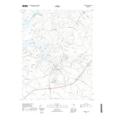
2019 Map of Centreville
USGS Topo · Published 2019About this map
Centreville serves as the focal point of this Eastern Shore landscape, situated where the Gravel Run and Mill Stream Branch converge. The town's historical footprint is anchored by the Chesterfield Cemetery and a network of roads like Church Hill Road that branch out toward smaller rural hubs such as Burrisville and Carville. Along the northern and western reaches, the Chester River and Corsica River define the terrain, carving out named points such as Jacobs Nose and Sycamore Point. This map illustrates the intersection of maritime geography and agricultural legacy, evidenced by numerous named farm lanes and the Ashland Landing Farm Airport near Indian Town. To the north, Mount Zion Cemetery and settlements like Browns Corner indicate established community centers that have long served the surrounding countryside.
Find a feature on this map
148 named features on this map. Tap any name to fly to it.
Don’t see what you’re looking for? This feature index may not catch every label — zoom into the map to look around manually.
Map Details
Editions of this 2019 Centreville Map
This is the sole edition of this map. No revisions or reprints were ever made.
Other maps of this area

1898 · Choptank
USGS Topo · 1:125,000

1898 · Tolchester
USGS Topo · 1:125,000

1899 · Dover
USGS Topo · 1:125,000

1901 · Chestertown
USGS Topo · 1:62,500

1903 · Tolchester
USGS Topo · 1:125,000

1904 · St. Michaels
USGS Topo · 1:62,500

1905 · Denton
USGS Topo · 1:62,500

1905 · Barclay
USGS Topo · 1:62,500

1906 · Dover
USGS Topo · 1:125,000

1908 · Tolchester
USGS Topo · 1:125,000