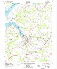
1954 Map of Centreville
USGS Topo · Published 1976About this map
Centreville serves as the focal point of this Eastern Shore survey, situated where the Mill Stream and Yellow Bank Str meet at the head of the Corsica River. The town layout includes the High Sch and Kennard Sch, alongside Centreville Landing, which provided maritime access to the Chesapeake via the Chester River. The transition in transportation is evident as the Penn Central line runs through the county seat while an Old Railroad Grade remains visible to the southwest, marking a retired path of commerce.
Find a feature on this map
54 named features on this map. Tap any name to fly to it.
Don’t see what you’re looking for? This feature index may not catch every label — zoom into the map to look around manually.
Map Details
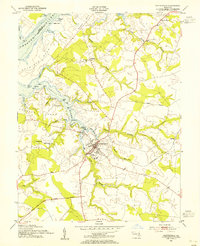
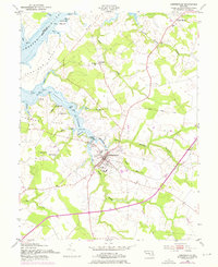
Editions of this 1954 Centreville Map
3 editions found
Other maps of this area

1898 · Choptank
USGS Topo · 1:125,000

1898 · Tolchester
USGS Topo · 1:125,000

1899 · Dover
USGS Topo · 1:125,000

1901 · Chestertown
USGS Topo · 1:62,500

1903 · Tolchester
USGS Topo · 1:125,000

1904 · St. Michaels
USGS Topo · 1:62,500

1905 · Denton
USGS Topo · 1:62,500

1905 · Barclay
USGS Topo · 1:62,500

1906 · Dover
USGS Topo · 1:125,000

1908 · Tolchester
USGS Topo · 1:125,000