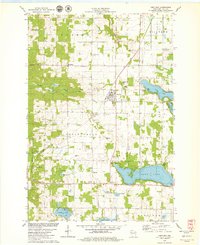
1978 Map of Centuria
USGS Topo · Published 1979About this map
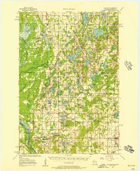
Centuria serves as a central hub for this late-1970s landscape in Polk County, where the village layout is defined by the Soo Line and a cluster of local services like the Trailer Park and Wayside Park. The surrounding townships of Eureka, Milltown, and St Croix Falls are dotted with numerous cemeteries, including Fristad Cem and Mc Askill Cem, which provide significant touchpoints for local family history research.
Find a feature on this map
42 named features on this map. Tap any name to fly to it.
Don’t see what you’re looking for? This feature index may not catch every label — zoom into the map to look around manually.
Map Details
Editions of this 1978 Centuria Map
This is the sole edition of this map. No revisions or reprints were ever made.
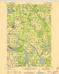
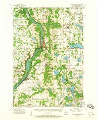
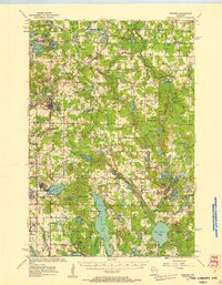
Other maps of this area

1900 · St Croix Dalles
USGS Topo · 1:62,500

1901 · St Croix Dalles
USGS Topo · 1:62,500

1950 · Balsam Lake
USGS Topo · 1:62,500

1951 · Milltown
USGS Topo · 1:48,000
1951 · Frederic
USGS Topo · 1:48,000

1953 · Stillwater
USGS Topo · 1:250,000
1955 · St. Croix Dalles
USGS Topo · 1:62,500
1955 · Frederic
USGS Topo · 1:62,500
1955 · Milltown
USGS Topo · 1:62,500

1955 · Stillwater
USGS Topo · 1:250,000