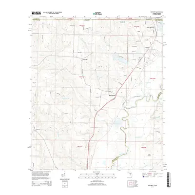
2015 Map of Century
USGS Topo · Published 2015About this map
Escambia River meanders along the border of Florida and Alabama, anchoring a landscape defined by small settlements and rural creek systems. At the northern edge, Flomaton and South Flomaton sit just across the state line from the town of Century, reflecting the close-knit development of these border communities. The terrain is marked by numerous water bodies and tributaries that likely supported early industry, such as McCostill Mill Cr and Pritchett Mill Br, suggesting a history of water-powered milling.
Find a feature on this map
98 named features on this map. Tap any name to fly to it.
Don’t see what you’re looking for? This feature index may not catch every label — zoom into the map to look around manually.
Map Details
Editions of this 2015 Century Map
This is the sole edition of this map. No revisions or reprints were ever made.
Other maps of this area

1941 · Century
USGS Topo · 1:62,500

1943 · Century
USGS Topo · 1:62,500

1943 · Jay
USGS Topo · 1:62,500

1953 · Andalusia
USGS Topo · 1:250,000

1957 · Andalusia
USGS Topo · 1:250,000

1957 · Pensacola
USGS Topo · 1:250,000

1959 · Pensacola
USGS Topo · 1:250,000

1960 · Pensacola
USGS Topo · 1:250,000

1960 · Atmore
USGS Topo · 1:24,000

1960 · Pollard
USGS Topo · 1:24,000