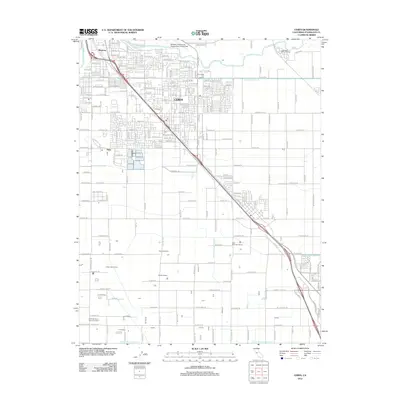
2012 Map of Ceres
USGS Topo · Published 2012About this map
The Tuolumne River winds along the northern edge of this Central Valley landscape, defining the boundary between the urban expansion of Bystrom and the more industrial and agricultural corridor of Ceres. This early 21st-century survey highlights a region shaped by a complex water management system, including the Ceres Main Canal and various irrigation laterals like Lower Lateral Number Three. The transportation network is dominated by the diagonal path of the Pacific Western railroad, which historically fueled the development of these San Joaquin Valley settlements.
Find a feature on this map
208 named features on this map. Tap any name to fly to it.
Don’t see what you’re looking for? This feature index may not catch every label — zoom into the map to look around manually.
Map Details
Editions of this 2012 Ceres Map
This is the sole edition of this map. No revisions or reprints were ever made.
Other maps of this area

1915 · Westport
USGS Topo · 1:31,680

1915 · Salida
USGS Topo · 1:31,680

1916 · Mitchell School
USGS Topo · 1:31,680

1916 · Crows Landing
USGS Topo · 1:31,680

1916 · Riverbank
USGS Topo · 1:31,680

1916 · Denair
USGS Topo · 1:31,680

1916 · Waterford
USGS Topo · 1:31,680

1916 · Ceres
USGS Topo · 1:31,680

1917 · Turlock
USGS Topo · 1:31,680

1919 · Orestimba
USGS Topo · 1:62,500