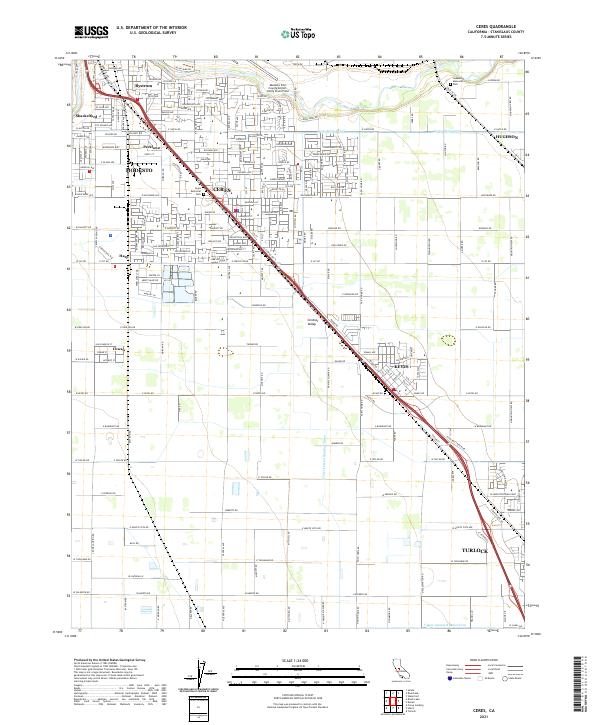
2021 Map of Ceres
USGS Topo · Published 2021About this map
The San Joaquin Valley landscape around Ceres and Modesto is defined by a dense grid of agricultural infrastructure and expanding residential neighborhoods. Irrigation is central to this region, with the Ceres-Main-Canal, Lower Lateral Number Three, and Upper Lateral Number Four facilitating the intensive cultivation of Stanislaus County. The map details the transition from industrial and municipal hubs like the Modesto City-County-Airport-Harry Sham Field to smaller outlying settlements such as Keyes and Hughson. Genealogy and local history researchers can identify established community landmarks including Ceres Memorial Park and Lakewood Memorial Park, alongside numerous residential tracts such as Parklawn, Shackelford, and Bystrom that characterize the modern growth of the Central Valley corridor.
Find a feature on this map
70 named features on this map. Tap any name to fly to it.
Don’t see what you’re looking for? This feature index may not catch every label — zoom into the map to look around manually.
Map Details
Editions of this 2021 Ceres Map
This is the sole edition of this map. No revisions or reprints were ever made.
Other maps of this area

1915 · Westport
USGS Topo · 1:31,680

1915 · Salida
USGS Topo · 1:31,680

1916 · Mitchell School
USGS Topo · 1:31,680

1916 · Crows Landing
USGS Topo · 1:31,680

1916 · Riverbank
USGS Topo · 1:31,680

1916 · Denair
USGS Topo · 1:31,680

1916 · Waterford
USGS Topo · 1:31,680

1916 · Ceres
USGS Topo · 1:31,680

1917 · Turlock
USGS Topo · 1:31,680

1919 · Orestimba
USGS Topo · 1:62,500