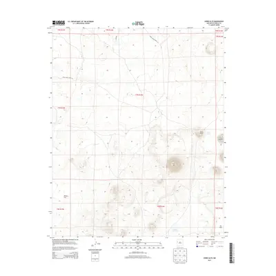
2013 Map of Cerro Alto
USGS Topo · Published 2013About this map
Cerro Alto stands as a prominent landmark in this high-desert landscape of Cibola County, where volcanic peaks and ephemeral water bodies define the terrain. This 2013 survey documents a remote portion of the Eastern Navajo Agency, characterized by isolated volcanic cones such as Cerro Flora and Cerro Orqueta. The presence of Laguna Flora and Laguna Colorada suggests seasonal catchments essential for the region's livestock and wildlife. Movement through this expanse is facilitated by a network of rural corridors, notably Indian Service Route 142 and Indian Service Route 143, which intersect with Ozark Rd. Lower-lying areas like Peñasco Flat and The Vega contrast with the surrounding elevations, illustrating the traditional rangeland geography of the New Mexico interior.
Find a feature on this map
19 named features on this map. Tap any name to fly to it.
Don’t see what you’re looking for? This feature index may not catch every label — zoom into the map to look around manually.
Map Details
Editions of this 2013 Cerro Alto Map
This is the sole edition of this map. No revisions or reprints were ever made.
Other maps of this area

1954 · Saint Johns
USGS Topo · 1:250,000

1957 · Saint Johns
USGS Topo · 1:250,000

1958 · Saint Johns
USGS Topo · 1:250,000

1962 · Saint Johns
USGS Topo · 1:250,000
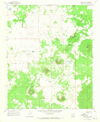
1967 · Cerro Hueco
USGS Topo · 1:24,000

1967 · Red Lake Mission
USGS Topo · 1:24,000
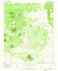
1967 · Cerro Brillante
USGS Topo · 1:24,000

1967 · Chimney Hill
USGS Topo · 1:24,000
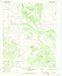
1967 · Goat Hill
USGS Topo · 1:24,000

1967 · Cerro Alto
USGS Topo · 1:24,000