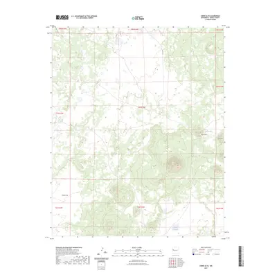
2023 Map of Cerro Alto
USGS Topo · Published 2023About this map
Cerro Alto rises as a prominent landmark in this high-desert portion of Cibola County, anchoring a landscape defined by volcanic peaks and seasonal water catchments. The terrain is marked by distinctive elevations including Cerro Flora and Cerro Orqueta to the east, which overlook the ephemeral basins of Laguna Flora and Laguna Colorada. These natural features illustrate the drainage patterns typical of the region, where water collects in localized depressions between volcanic formations.
Find a feature on this map
18 named features on this map. Tap any name to fly to it.
Don’t see what you’re looking for? This feature index may not catch every label — zoom into the map to look around manually.
Map Details
Editions of this 2023 Cerro Alto Map
This is the sole edition of this map. No revisions or reprints were ever made.
Other maps of this area

1954 · Saint Johns
USGS Topo · 1:250,000

1957 · Saint Johns
USGS Topo · 1:250,000

1958 · Saint Johns
USGS Topo · 1:250,000

1962 · Saint Johns
USGS Topo · 1:250,000
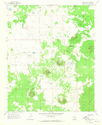
1967 · Cerro Hueco
USGS Topo · 1:24,000

1967 · Red Lake Mission
USGS Topo · 1:24,000
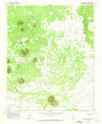
1967 · Cerro Brillante
USGS Topo · 1:24,000

1967 · Chimney Hill
USGS Topo · 1:24,000
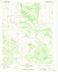
1967 · Goat Hill
USGS Topo · 1:24,000

1967 · Cerro Alto
USGS Topo · 1:24,000