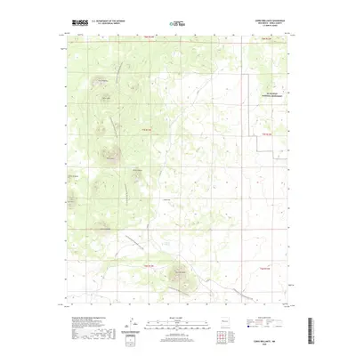
2020 Map of Cerro Brillante
USGS Topo · Published 2020About this map
El Malpais National Monument defines the northeastern portion of this Cibola County landscape, where volcanic features and high-desert peaks dominate the topography. The terrain is marked by a series of distinct volcanic cones including Cerro Lobo, Cerro Chato, and the titular Cerro Brillante. These landmarks serve as navigational anchors along the Continental Divide National Scenic Trail, which winds south through the center of the sheet, crossing the open expanse of Chato Flat. A rare water feature in this arid environment, Laguna Brillante, lies just north of the prominent peak at Cerro Brillante. The presence of Co RD 42 provides the primary vehicular access through this section of the Eastern Navajo Agency, connecting the high ridges like Cerro Piedrita and Cerro Orqueta with the lowlands to the south.
Find a feature on this map
19 named features on this map. Tap any name to fly to it.
Don’t see what you’re looking for? This feature index may not catch every label — zoom into the map to look around manually.
Map Details
Editions of this 2020 Cerro Brillante Map
This is the sole edition of this map. No revisions or reprints were ever made.
Other maps of this area

1954 · Saint Johns
USGS Topo · 1:250,000

1957 · Saint Johns
USGS Topo · 1:250,000

1958 · Saint Johns
USGS Topo · 1:250,000

1962 · Saint Johns
USGS Topo · 1:250,000
1967 · Ice Caves SE
USGS Topo · 1:24,000
1967 · Cerro Hueco
USGS Topo · 1:24,000
1967 · Cerro Brillante
USGS Topo · 1:24,000
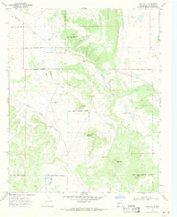
1967 · Goat Hill
USGS Topo · 1:24,000

1967 · Cerro Alto
USGS Topo · 1:24,000
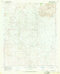
1967 · York Ranch
USGS Topo · 1:24,000