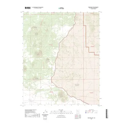
2023 Map of Cerro Brillante
USGS Topo · Published 2023About this map
West Malpais Wilderness anchors this remote Cibola County landscape, where volcanic topography and ancient migration corridors intersect. The map documents a significant stretch of the Continental Divide National Scenic Trl, which meanders past prominent landmarks including Cerro Colorada and the ephemeral Laguna Brillante. The terrain is defined by a series of volcanic features such as Cerro Lobo, Cerro Piedrita, and the namesake Cerro Brillante in the south.
Find a feature on this map
19 named features on this map. Tap any name to fly to it.
Don’t see what you’re looking for? This feature index may not catch every label — zoom into the map to look around manually.
Map Details
Editions of this 2023 Cerro Brillante Map
This is the sole edition of this map. No revisions or reprints were ever made.
Other maps of this area

1954 · Saint Johns
USGS Topo · 1:250,000

1957 · Saint Johns
USGS Topo · 1:250,000

1958 · Saint Johns
USGS Topo · 1:250,000

1962 · Saint Johns
USGS Topo · 1:250,000
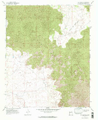
1967 · Ice Caves SE
USGS Topo · 1:24,000
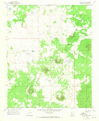
1967 · Cerro Hueco
USGS Topo · 1:24,000
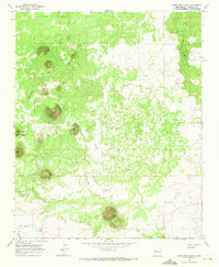
1967 · Cerro Brillante
USGS Topo · 1:24,000
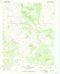
1967 · Goat Hill
USGS Topo · 1:24,000

1967 · Cerro Alto
USGS Topo · 1:24,000
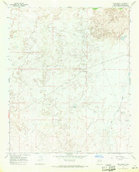
1967 · York Ranch
USGS Topo · 1:24,000