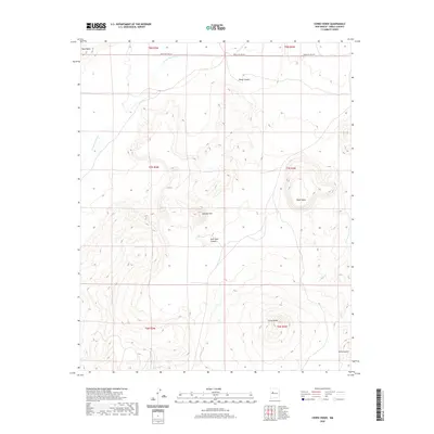
2020 Map of Cerro Verde
USGS Topo · Published 2020About this map
Cerro Verde and the surrounding volcanic terrain dominate this high-desert portion of New Mexico as it appeared in the early 21st century. The landscape is defined by massive landforms like Black Mesa and the prominent Sierra Lucero at the southern edge, illustrating the geologic character of the region. Drainage patterns are established by several significant watercourses, including Arroyo Colorado in the northwest and Arroyo Lucero in the southeast. While largely an undeveloped expanse of open range, human impact is visible through Indian Svc Rte 541 crossing the northern boundary and several local canyons such as Rock Tank Canyon and Ponia Canyon. The map provides a precise layout of the township and range system, including sections of t7n r4w and t6n r5w, which are vital for researchers tracking land ownership and historical boundaries in this arid environment.
Find a feature on this map
16 named features on this map. Tap any name to fly to it.
Don’t see what you’re looking for? This feature index may not catch every label — zoom into the map to look around manually.
Map Details
Editions of this 2020 Cerro Verde Map
This is the sole edition of this map. No revisions or reprints were ever made.
Other maps of this area

1917 · Cerro Verde
USGS Topo · 1:125,000

1954 · Socorro
USGS Topo · 1:250,000

1956 · South Garcia
USGS Topo · 1:62,500

1956 · Mesa Aparejo
USGS Topo · 1:62,500

1958 · Socorro
USGS Topo · 1:250,000
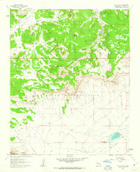
1960 · South Butte
USGS Topo · 1:24,000
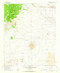
1960 · Dough Mountain
USGS Topo · 1:24,000

1960 · Cerro Verde
USGS Topo · 1:24,000

1961 · Marmon Ranch
USGS Topo · 1:24,000

1962 · Socorro
USGS Topo · 1:250,000