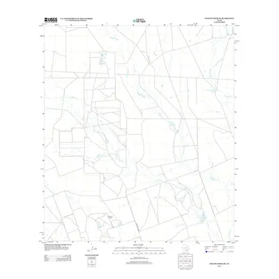
2012 Map of Chacon Creek SE
USGS Topo · Published 2012About this map
Palo Blanco Cr and Chacon Cr wind through this part of Maverick County, defining a landscape shaped by intermittent watercourses and ranching infrastructure. This 2012 survey illustrates the importance of water management in the Texas brush country, highlighted by features like Cometa Lake, Twin Lakes, and E O Johnson Lake Number 1. These reservoirs, along with stock tanks such as Toro Tank and Fourth of July Tank, provide vital resources for the local environment. Transportation across the territory is anchored by Ranch Road 2691 and the presence of the Flying G Airport in the south, reflecting the vast distances and specialized infrastructure required for modern rural operations. The map details a complex network of property lines and access roads that partition the terrain between Chaparrosa Cr and Spurler Cr.
Find a feature on this map
11 named features on this map. Tap any name to fly to it.
Don’t see what you’re looking for? This feature index may not catch every label — zoom into the map to look around manually.
Map Details
Editions of this 2012 Chacon Creek SE Map
This is the sole edition of this map. No revisions or reprints were ever made.
Other maps of this area

1939 · Carrizo Springs
USGS Topo · 1:62,500

1939 · La Pryor
USGS Topo · 1:62,500

1940 · Cometa
USGS Topo · 1:62,500

1940 · Chacon Creek
USGS Topo · 1:62,500

1953 · Crystal City
USGS Topo · 1:250,000

1955 · Crystal City
USGS Topo · 1:250,000

1958 · Eagle Pass
USGS Topo · 1:250,000

1961 · Crystal City
USGS Topo · 1:250,000

1965 · Eagle Pass
USGS Topo · 1:250,000

1968 · Crystal City
USGS Topo · 1:250,000