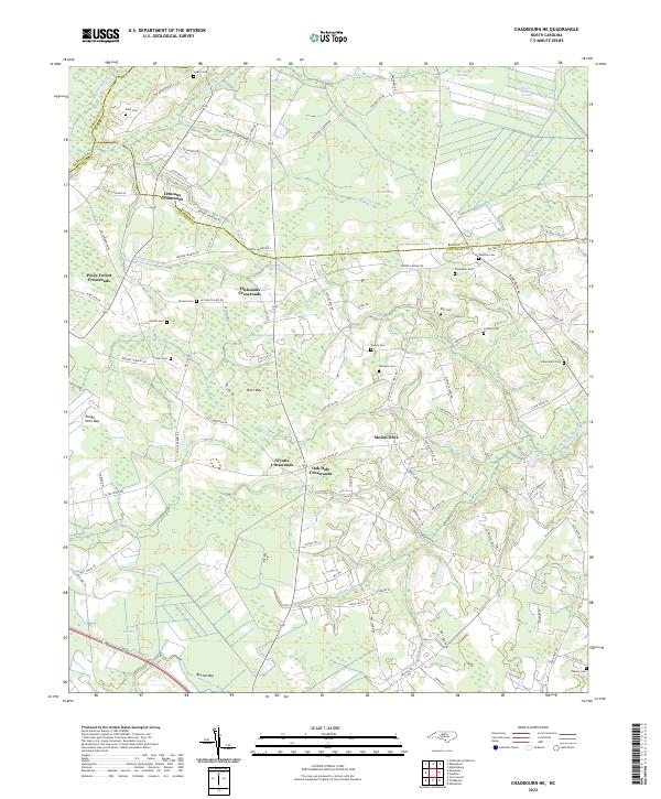
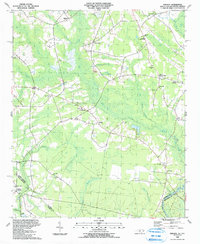
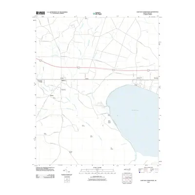
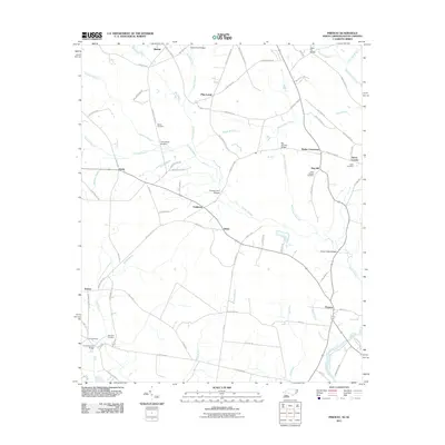
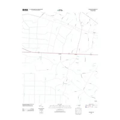
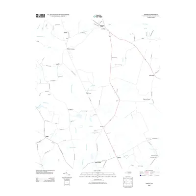
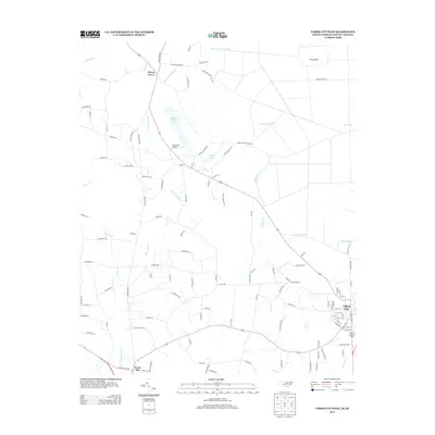
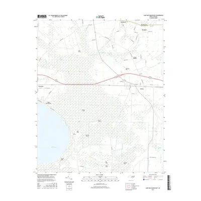
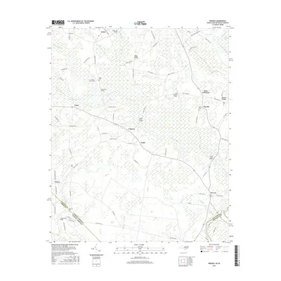
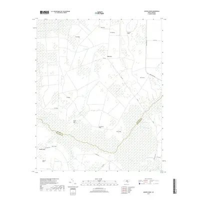
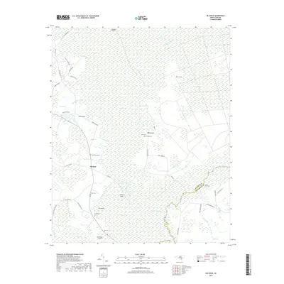
2022 Map of Chadbourn NE
USGS Topo · Published 2022About this map
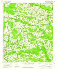
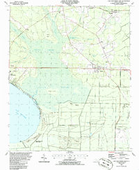
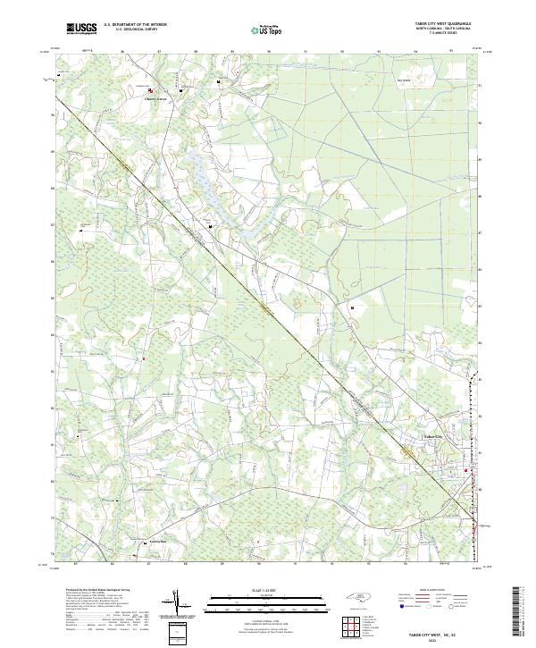
Lennons Crossroads and several other rural junction communities define the landscape of eastern North Carolina near the border of Columbus, Bladen, and Robeson counties. This area is characterized by a high density of oval-shaped depression features known locally as bays, including Rough Horn Bay, Brier Bay, and Button Bay. These features, often filled with swampy vegetation, dictate the winding paths of roads like Old Lumberton Rd and Silver Spoon Rd. For genealogists, the map is a dense resource of family-named burial grounds, including the Benevolent Cem, Williams Cem, and Porters Cem, which are scattered among small settlements like Mount Olive and Oak Dale Crossroads. The drainage network, centered on the Big Swamp Canal and its tributaries like Rattlesnake Br, illustrates the historical effort to manage the water of the Horsepen Swamp for agriculture and settlement.
Find a feature on this map
99 named features on this map. Tap any name to fly to it.
Don’t see what you’re looking for? This feature index may not catch every label — zoom into the map to look around manually.
Map Details
Editions of this 2022 Chadbourn NE Map
This is the sole edition of this map. No revisions or reprints were ever made.
Historical Maps of Mount Olive Through Time
64 maps found
1942 Juniper Creek
Columbus County, NC
1943 Nakina
Columbus County, NC

1943 Pireway
Columbus County, NC
1953 Pireway
Columbus County, NC
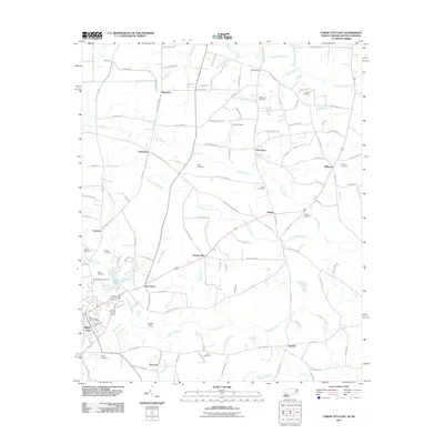
1962 Tabor City East
Columbus County, NC
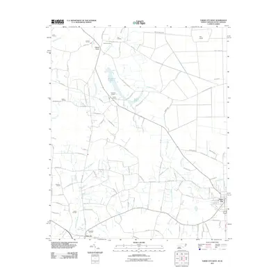
1962 Tabor City West
Columbus County, NC
1986 Chadbourn NE
Columbus County, NC
1986 Freeman
Columbus County, NC
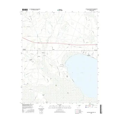
1986 Lake Waccamaw East
Columbus County, NC

1987 Lake Waccamaw West
Columbus County, NC
1990 Juniper Creek
Columbus County, NC
1990 Nakina
Columbus County, NC
1990 Old Dock
Columbus County, NC
1990 Pireway
Columbus County, NC
2010 Chadbourn NE
Columbus County, NC
2010 Juniper Creek
Columbus County, NC
2010 Lake Waccamaw East
Columbus County, NC
2010 Lake Waccamaw West
Columbus County, NC
2010 Nakina
Columbus County, NC
2010 Old Dock
Columbus County, NC
2011 Freeman
Columbus County, NC
2011 Pireway
Columbus County, NC
2011 Tabor City East
Columbus County, NC
2011 Tabor City West
Columbus County, NC
2013 Chadbourn NE
Columbus County, NC
2013 Freeman
Columbus County, NC
2013 Juniper Creek
Columbus County, NC
2013 Lake Waccamaw East
Columbus County, NC
2013 Lake Waccamaw West
Columbus County, NC
2013 Nakina
Columbus County, NC
2013 Old Dock
Columbus County, NC
2013 Pireway
Columbus County, NC
2013 Tabor City East
Columbus County, NC
2013 Tabor City West
Columbus County, NC
2016 Chadbourn NE
Columbus County, NC
2016 Freeman
Columbus County, NC
2016 Juniper Creek
Columbus County, NC
2016 Lake Waccamaw East
Columbus County, NC
2016 Lake Waccamaw West
Columbus County, NC
2016 Nakina
Columbus County, NC
2016 Old Dock
Columbus County, NC
2016 Pireway
Columbus County, NC
2016 Tabor City East
Columbus County, NC
2016 Tabor City West
Columbus County, NC

2019 Chadbourn NE
Columbus County, NC
2019 Freeman
Columbus County, NC
2019 Juniper Creek
Columbus County, NC
2019 Lake Waccamaw East
Columbus County, NC
2019 Lake Waccamaw West
Columbus County, NC
2019 Nakina
Columbus County, NC
2019 Old Dock
Columbus County, NC
2019 Pireway
Columbus County, NC
2019 Tabor City East
Columbus County, NC
2019 Tabor City West
Columbus County, NC
2022 Chadbourn NE
Columbus County, NC
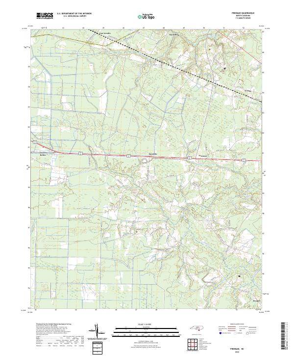
2022 Freeman
Columbus County, NC
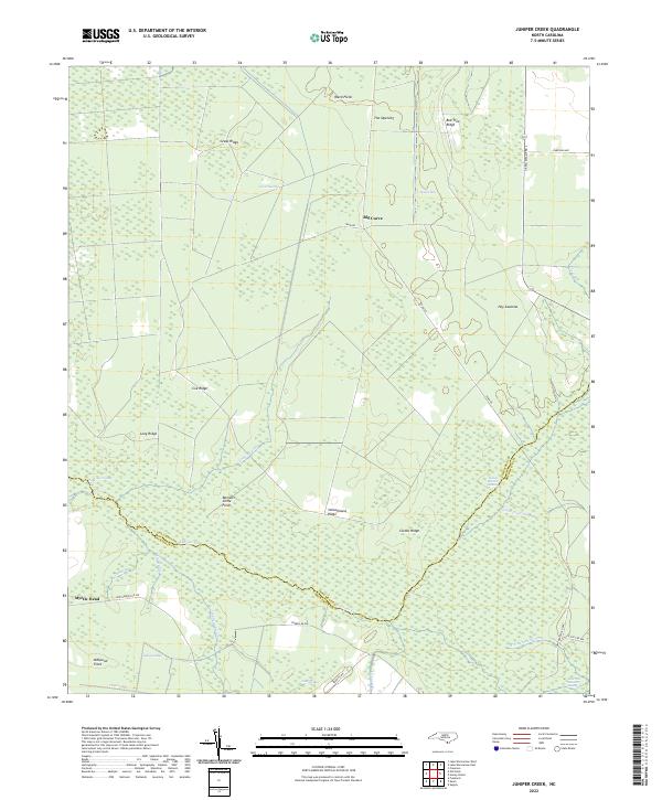
2022 Juniper Creek
Columbus County, NC
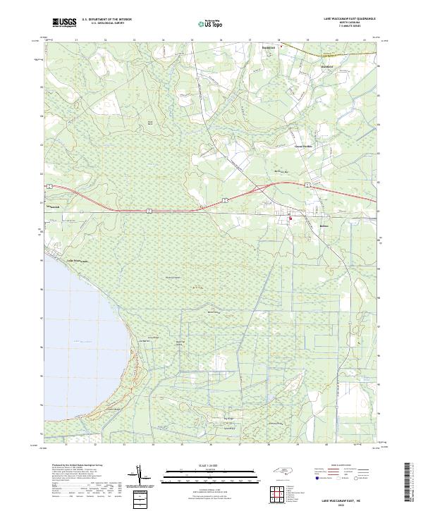
2022 Lake Waccamaw East
Columbus County, NC
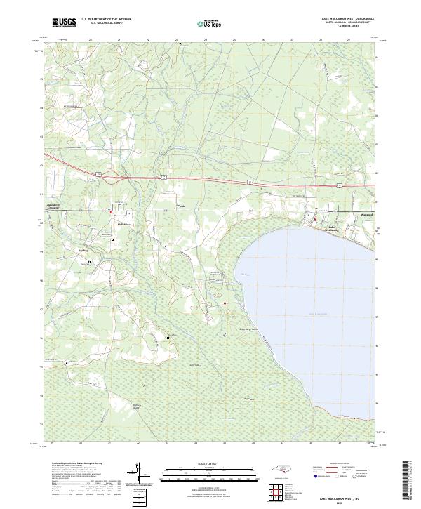
2022 Lake Waccamaw West
Columbus County, NC
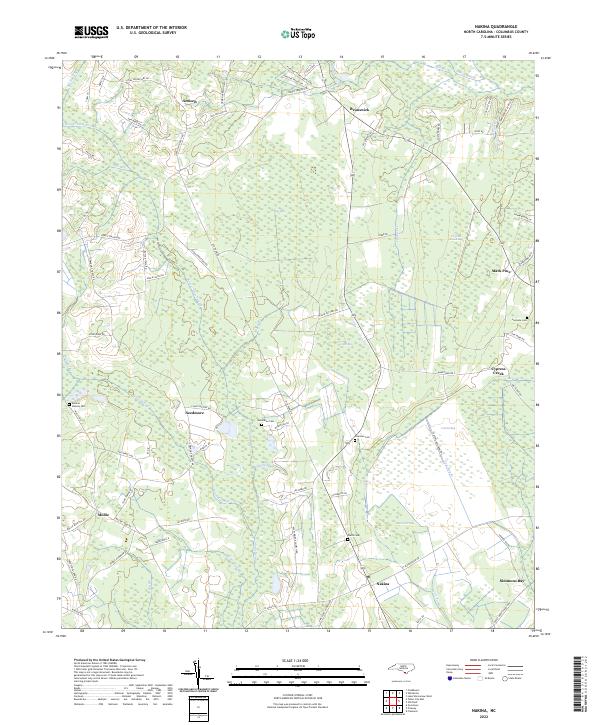
2022 Nakina
Columbus County, NC
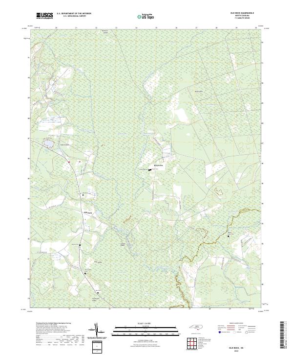
2022 Old Dock
Columbus County, NC
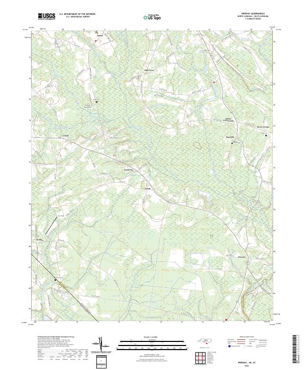
2022 Pireway
Columbus County, NC
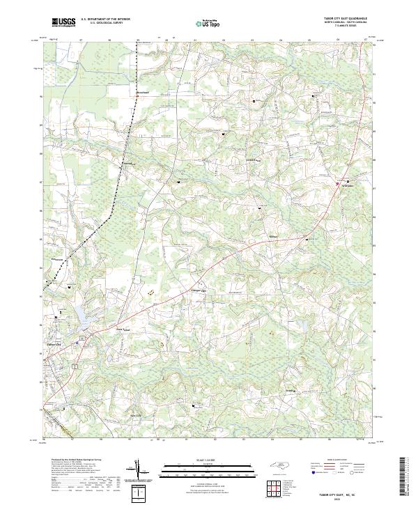
2022 Tabor City East
Columbus County, NC
2022 Tabor City West
Columbus County, NC
Featured Locations
- Lennons Crossroads, NC
- Mount Olive, NC
- Wyatts Crossroads, NC
- Hickmans Crossroads, NC
- Piney Forest Crossroads, NC