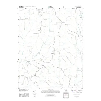
2012 Map of Chadwick
USGS Topo · Published 2012About this map
The community of Chadwick serves as a central hub in this rugged Ozark terrain, defined by a network of ridges and hollows such as Strawberry Ridge and Happy Hollow. The landscape is heavily influenced by the drainage systems of Bull Creek and East Fork Bull Creek, which carve through the southern Missouri hills. Significant for local historians and genealogists, the map identifies several burial grounds including Gardner Cemetery, Shipman Cemetery, and Mathews Cemetery, marking the generations of families settled in this part of Christian County.
Find a feature on this map
71 named features on this map. Tap any name to fly to it.
Don’t see what you’re looking for? This feature index may not catch every label — zoom into the map to look around manually.
Map Details
Editions of this 2012 Chadwick Map
This is the sole edition of this map. No revisions or reprints were ever made.
Other maps of this area

1884 · Springfield
USGS Topo · 1:125,000

1886 · Springfield
USGS Topo · 1:125,000

1907 · Forsyth
USGS Topo · 1:125,000

1937 · Bradleyville
USGS Topo · 1:48,000

1937 · Ozark
USGS Topo · 1:48,000

1939 · Fordland
USGS Topo · 1:62,500

1942 · Fordland
USGS Topo · 1:62,500

1943 · Ozark
USGS Topo · 1:62,500

1943 · Bradleyville
USGS Topo · 1:62,500

1945 · Harrison
USGS Topo · 1:250,000