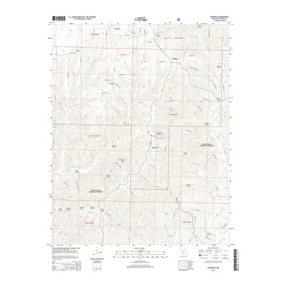
2015 Map of Chadwick
USGS Topo · Published 2015About this map
Mark Twain National Forest dominates the southern half of this Christian County landscape, where the Ozark plateau is deeply incised by a network of creeks and hollows. The settlement of Chadwick sits at a junction of forest roads, serving as a gateway to the high ground of Strawberry Ridge and Carwine Ridge. To the north, the terrain transitions toward the community of Oldfield and the southern edge of Sparta, where the drainage of Bull Creek and its eastern fork begins to carve through the limestone.
Find a feature on this map
81 named features on this map. Tap any name to fly to it.
Don’t see what you’re looking for? This feature index may not catch every label — zoom into the map to look around manually.
Map Details
Editions of this 2015 Chadwick Map
This is the sole edition of this map. No revisions or reprints were ever made.
Other maps of this area

1884 · Springfield
USGS Topo · 1:125,000

1886 · Springfield
USGS Topo · 1:125,000

1907 · Forsyth
USGS Topo · 1:125,000

1937 · Bradleyville
USGS Topo · 1:48,000

1937 · Ozark
USGS Topo · 1:48,000

1939 · Fordland
USGS Topo · 1:62,500

1942 · Fordland
USGS Topo · 1:62,500

1943 · Ozark
USGS Topo · 1:62,500

1943 · Bradleyville
USGS Topo · 1:62,500

1945 · Harrison
USGS Topo · 1:250,000