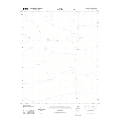
2012 Map of Chagoopa Falls
USGS Topo · Published 2012About this map
The Kern River corridor dominates this high-altitude landscape, carving a deep canyon that serves as a primary geographic axis through Tulare County. The 2012 survey illustrates a wilderness defined by a network of significant drainages, including Big Arroyo, Rattlesnake Cr, and Chagoopa Cr, which feed into the river system. On the high ground, the Chagoopa Plateau stands as a prominent topographical feature, hosting the expansive Sky Parlor Meadow and the secluded Moraine Lake. Human activity in this remote area is concentrated near the river, evidenced by the Chagoopa Falls District Ranger Office and the geothermal Kern Hot Spring. The drainage patterns, particularly near Chagoopa Falls and the Window Cliffs, reveal a complex erosion history in the Sierra Nevada range, while named meadows like Funston Meadow suggest established grazing or camping sites along the riparian trails.
Find a feature on this map
21 named features on this map. Tap any name to fly to it.
Don’t see what you’re looking for? This feature index may not catch every label — zoom into the map to look around manually.
Map Details
Editions of this 2012 Chagoopa Falls Map
This is the sole edition of this map. No revisions or reprints were ever made.
Other maps of this area

1903 · Tehipite
USGS Topo · 1:125,000

1904 · Kaweah
USGS Topo · 1:125,000

1905 · Tehipite
USGS Topo · 1:125,000

1905 · Olancha
USGS Topo · 1:125,000

1907 · Olancha
USGS Topo · 1:125,000

1907 · Mt. Whitney
USGS Topo · 1:125,000

1909 · Kaweah
USGS Topo · 1:125,000

1919 · Mt. Whitney
USGS Topo · 1:125,000

1937 · Mt. Whitney
USGS Topo · 1:125,000

1937 · Kaweah
USGS Topo · 1:125,000