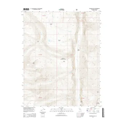
2015 Map of Chagoopa Falls
USGS Topo · Published 2015About this map
Sequoia National Park contains this high-elevation wilderness where the Great Western Divide dictates the flow of glacial waters. The Kern River carves deeply through Kern Canyon along the eastern edge of the sheet, creating a dramatic drop for the namesake Chagoopa Falls. This drainage system is fed by numerous high-altitude watercourses, including Big Arroyo, Rattlesnake Cr, and Chagoopa Cr, which cross a landscape defined by significant meadowlands and plateaus.
Find a feature on this map
32 named features on this map. Tap any name to fly to it.
Don’t see what you’re looking for? This feature index may not catch every label — zoom into the map to look around manually.
Map Details
Editions of this 2015 Chagoopa Falls Map
This is the sole edition of this map. No revisions or reprints were ever made.
Other maps of this area

1903 · Tehipite
USGS Topo · 1:125,000

1904 · Kaweah
USGS Topo · 1:125,000

1905 · Tehipite
USGS Topo · 1:125,000

1905 · Olancha
USGS Topo · 1:125,000

1907 · Olancha
USGS Topo · 1:125,000

1907 · Mt. Whitney
USGS Topo · 1:125,000

1909 · Kaweah
USGS Topo · 1:125,000

1919 · Mt. Whitney
USGS Topo · 1:125,000

1937 · Mt. Whitney
USGS Topo · 1:125,000

1937 · Kaweah
USGS Topo · 1:125,000