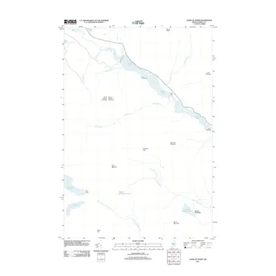
2011 Map of Chain of Ponds
USGS Topo · Published 2011About this map
Round Pond anchors this high-country landscape in northwestern Maine, where a series of interconnected water bodies stretches through the terrain. The presence of the Chain Lakes Dam at the southeastern reach of the ponds suggests a managed water level that supports both the local ecosystem and the seasonal habitations at Chain of Ponds Camp and Upper Farm. The geography is defined by significant elevations, including Snow Mountain and Bag Pond Mountain, which divide the various drainage basins.
Find a feature on this map
29 named features on this map. Tap any name to fly to it.
Don’t see what you’re looking for? This feature index may not catch every label — zoom into the map to look around manually.
Map Details
Editions of this 2011 Chain of Ponds Map
This is the sole edition of this map. No revisions or reprints were ever made.
Other maps of this area

1928 · Chain Lakes
USGS Topo · 1:48,000

1931 · Cupsuptic
USGS Topo · 1:48,000

1932 · Kennebago Lake
USGS Topo · 1:48,000

1932 · Arnold Pond
USGS Topo · 1:48,000

1932 · Chain Lakes
USGS Topo · 1:62,500

1934 · Cupsuptic
USGS Topo · 1:62,500

1935 · Kennebago Lake
USGS Topo · 1:62,500

1935 · Chain Lakes
USGS Topo · 1:62,500

1935 · Cupsuptic
USGS Topo · 1:62,500

1935 · Arnold Pond
USGS Topo · 1:62,500
Featured Places
- Round Mountain, Alder Stream Township
- Kibby Township, ME
- Alder Stream Township, ME
- Seven Ponds Township, ME
- Chain of Ponds Township, ME