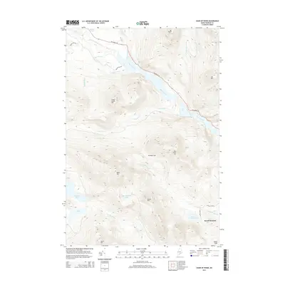
2014 Map of Chain of Ponds
USGS Topo · Published 2014About this map
Chain of Ponds anchors this portion of Franklin County, stretching northwest through a series of connected basins and narrow channels. Historically significant for its connection to The Arnold Trl, the area represents a legacy of early wilderness transit. The settlement of Round Mountain sits at the base of its namesake height, while the landscape is defined by the high elevations of Snow Mtn, Sisk Mtn, and Indian Stream Mtn.
Find a feature on this map
31 named features on this map. Tap any name to fly to it.
Don’t see what you’re looking for? This feature index may not catch every label — zoom into the map to look around manually.
Map Details
Editions of this 2014 Chain of Ponds Map
This is the sole edition of this map. No revisions or reprints were ever made.
Other maps of this area

1928 · Chain Lakes
USGS Topo · 1:48,000

1931 · Cupsuptic
USGS Topo · 1:48,000

1932 · Kennebago Lake
USGS Topo · 1:48,000

1932 · Arnold Pond
USGS Topo · 1:48,000

1932 · Chain Lakes
USGS Topo · 1:62,500

1934 · Cupsuptic
USGS Topo · 1:62,500

1935 · Kennebago Lake
USGS Topo · 1:62,500

1935 · Chain Lakes
USGS Topo · 1:62,500

1935 · Cupsuptic
USGS Topo · 1:62,500

1935 · Arnold Pond
USGS Topo · 1:62,500
Featured Places
- Round Mountain, Alder Stream Township
- Kibby Township, ME
- Alder Stream Township, ME
- Seven Ponds Township, ME
- Chain of Ponds Township, ME