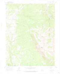
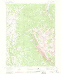
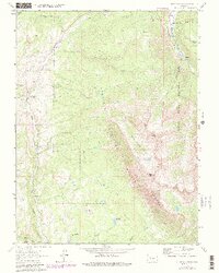
1963 Map of Chair Mountain
USGS Topo · Published 1974About this map
The high-altitude drainage basins of western Colorado are defined by steep topography and isolated homesteads in this 1960s-era survey. The Crystal River carves through the northeastern corner, supporting the Bogan Flats Campground and Chair Mtn Ranch, while the western slopes are dominated by the intricate headwaters of East Muddy Creek. This landscape of the Gunnison National Forest and White River National Forest is shaped by water management and transit, visible in the Tomahawk Ditch and the rugged Pack Trail systems that cross between the peaks.
Find a feature on this map
29 named features on this map. Tap any name to fly to it.
Don’t see what you’re looking for? This feature index may not catch every label — zoom into the map to look around manually.
Map Details
Editions of this 1963 Chair Mountain Map
6 editions found
Other maps of this area

1888 · Anthracite
USGS Topo · 1:62,500

1889 · Anthracite
USGS Topo · 1:62,500

1893 · Anthracite
USGS Topo · 1:62,500

1894 · Anthracite
USGS Topo · 1:62,500

1938 · Mt. Gunnison
USGS Topo · 1:48,000

1945 · Mount Gunnison
USGS Topo · 1:62,500

1956 · Montrose
USGS Topo · 1:250,000

1957 · Leadville
USGS Topo · 1:250,000

1959 · Leadville
USGS Topo · 1:250,000

1959 · Montrose
USGS Topo · 1:250,000