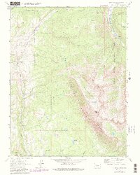
1963 Map of Chair Mountain
USGS Topo · Published 1980About this map
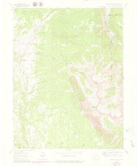
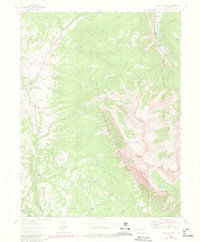
Jacobs Ranch and Volk Ranch stand as isolated outposts in this high-elevation landscape on the border of the Gunnison National Forest and White River National Forest. The 1963 survey, with photorevisions from 1978, illustrates a transition from the drainage of Muddy Creek and East Muddy Creek in the west toward the precipitous heights of The Raggeds in the southeast. Prominent peaks like Chair Mtn and Ragged Peak dominate the topography, framing the Buck Creek Basin. Water management for high-country utility is evident in the Tomahawk Ditch which feeds into Tomahawk Reservoir. The map tracks a network of rugged transportation routes, including several unnamed Trails, Pack Trails, and Jeep Trails that negotiate the steep terrain between Chair Creek and the Crystal River valley.
Find a feature on this map
30 named features on this map. Tap any name to fly to it.
Don’t see what you’re looking for? This feature index may not catch every label — zoom into the map to look around manually.
Map Details
Editions of this 1963 Chair Mountain Map
6 editions found
Other maps of this area

1888 · Anthracite
USGS Topo · 1:62,500

1889 · Anthracite
USGS Topo · 1:62,500

1893 · Anthracite
USGS Topo · 1:62,500

1894 · Anthracite
USGS Topo · 1:62,500

1938 · Mt. Gunnison
USGS Topo · 1:48,000

1945 · Mount Gunnison
USGS Topo · 1:62,500

1956 · Montrose
USGS Topo · 1:250,000

1957 · Leadville
USGS Topo · 1:250,000

1959 · Leadville
USGS Topo · 1:250,000

1959 · Montrose
USGS Topo · 1:250,000