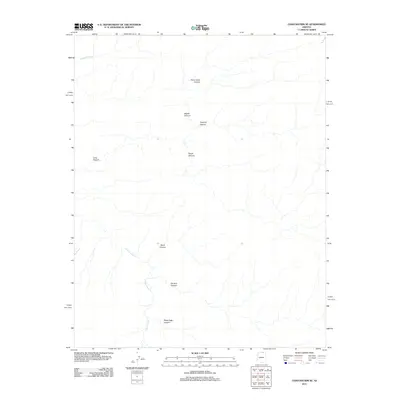
2011 Map of Chaiyahi Rim SE
USGS Topo · Published 2011About this map
Navajo Creek and its complex network of tributaries define this section of Coconino County, characterized by a high concentration of drainage systems cutting through the arid landscape. The area is marked by a series of distinct canyon formations, including Forty Caves Canyon and the curiously named Pyramid Canyon in the north, which give way to Peach Canyon and Ségito Canyon. In the southern portion of the quadrangle, the water of Navajo Creek is fed by several smaller branches such as Sand Canyon, Far End Canyon, and Black Sage Canyon. This 2011 survey documents a territory defined almost entirely by its geological features, showing a landscape without permanent settlements or road infrastructure, where the natural watercourses and the Chaiyahi Creek dictate the local geography.
Find a feature on this map
10 named features on this map. Tap any name to fly to it.
Don’t see what you’re looking for? This feature index may not catch every label — zoom into the map to look around manually.
Map Details
Editions of this 2011 Chaiyahi Rim SE Map
This is the sole edition of this map. No revisions or reprints were ever made.
Other maps of this area

1883 · Marsh Pass
USGS Topo · 1:250,000

1892 · Marsh Pass
USGS Topo · 1:250,000

1956 · Marble Canyon
USGS Topo · 1:250,000

1959 · Marble Canyon
USGS Topo · 1:250,000

1961 · Marble Canyon
USGS Topo · 1:250,000
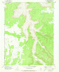
1970 · Tall Mountain NW
USGS Topo · 1:24,000
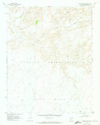
1970 · Chaiyahi Rim SW
USGS Topo · 1:24,000
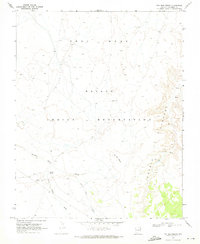
1970 · Two Red Mesas
USGS Topo · 1:24,000
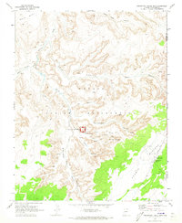
1970 · Inscription House Ruin
USGS Topo · 1:24,000
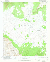
1970 · Chaiyahi Rim NE
USGS Topo · 1:24,000