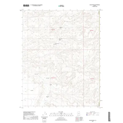
2018 Map of Chaiyahi Rim SE
USGS Topo · Published 2018About this map
Navajo Canyon dominates the southern half of this landscape in Coconino County, where the deeply carved terrain reveals a complex network of drainage systems. The northern reaches are defined by a series of narrow, branching corridors including Forty-Caves Canyon, Segito Canyon, and Pyramid Canyon. These landforms illustrate the intricate erosion patterns characteristic of the high desert, with Gray Mesa standing as a prominent highland between the canyons. Water flow is intermittently marked by Navajo Cr and Chaiyahi Cr, which cut through the sandstone layers. This 2018 survey by the U.S. Geological Survey provides a precise view of the topography, showing how features like Peach Canyon and Black Sage Canyon converge within this remote section of northern Arizona.
Find a feature on this map
17 named features on this map. Tap any name to fly to it.
Don’t see what you’re looking for? This feature index may not catch every label — zoom into the map to look around manually.
Map Details
Editions of this 2018 Chaiyahi Rim SE Map
This is the sole edition of this map. No revisions or reprints were ever made.
Other maps of this area

1883 · Marsh Pass
USGS Topo · 1:250,000

1892 · Marsh Pass
USGS Topo · 1:250,000

1956 · Marble Canyon
USGS Topo · 1:250,000

1959 · Marble Canyon
USGS Topo · 1:250,000

1961 · Marble Canyon
USGS Topo · 1:250,000
1970 · Tall Mountain NW
USGS Topo · 1:24,000
1970 · Chaiyahi Rim SW
USGS Topo · 1:24,000
1970 · Two Red Mesas
USGS Topo · 1:24,000
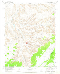
1970 · Inscription House Ruin
USGS Topo · 1:24,000
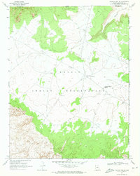
1970 · Chaiyahi Rim NE
USGS Topo · 1:24,000