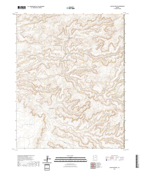
2021 Map of Chaiyahi Rim SE
USGS Topo · Published 2021About this map
Gray Mesa dominates the southwestern corner of this topographic landscape in Coconino County, serving as a high-elevation anchor for a complex network of drainage systems. The area is defined by a dense concentration of carved terrain, most notably Forty-Caves Canyon and Black Sage Canyon, which illustrate the erosion patterns characteristic of this part of northern Arizona. These features are situated within the Public Land Survey System sections of Township 39 and 40 North.
Find a feature on this map
14 named features on this map. Tap any name to fly to it.
Don’t see what you’re looking for? This feature index may not catch every label — zoom into the map to look around manually.
Map Details
Editions of this 2021 Chaiyahi Rim SE Map
This is the sole edition of this map. No revisions or reprints were ever made.
Other maps of this area

1883 · Marsh Pass
USGS Topo · 1:250,000

1892 · Marsh Pass
USGS Topo · 1:250,000

1956 · Marble Canyon
USGS Topo · 1:250,000

1959 · Marble Canyon
USGS Topo · 1:250,000

1961 · Marble Canyon
USGS Topo · 1:250,000
1970 · Tall Mountain NW
USGS Topo · 1:24,000
1970 · Chaiyahi Rim SW
USGS Topo · 1:24,000
1970 · Two Red Mesas
USGS Topo · 1:24,000
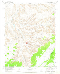
1970 · Inscription House Ruin
USGS Topo · 1:24,000
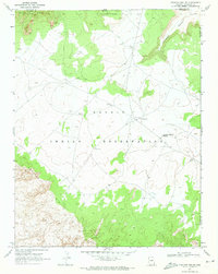
1970 · Chaiyahi Rim NE
USGS Topo · 1:24,000