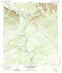
1960 Map of Chalk Bluff
USGS Topo · Published 1984About this map
The Nueces River carves a deep path through this section of Uvalde County, where the prominent white escarpment of Chalk Bluff dominates the northern landscape. This 1960 field-checked survey reveals a ranching economy defined by vast holdings and riverside crossings. The presence of an Old Railroad Grade and the Haby Crossing suggests historical transportation corridors that followed the river's winding course.
Find a feature on this map
31 named features on this map. Tap any name to fly to it.
Don’t see what you’re looking for? This feature index may not catch every label — zoom into the map to look around manually.
Map Details
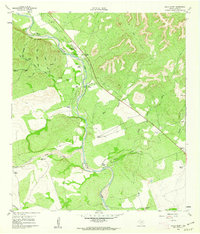
Editions of this 1960 Chalk Bluff Map
2 editions found
Other maps of this area

1896 · Brackett
USGS Topo · 1:125,000

1897 · Brackett
USGS Topo · 1:125,000

1898 · Uvalde
USGS Topo · 1:125,000

1899 · Uvalde
USGS Topo · 1:125,000

1938 · Turkey Mountain
USGS Topo · 1:48,000

1943 · Turkey Mountain
USGS Topo · 1:62,500

1949 · Cline
USGS Topo · 1:62,500

1954 · San Antonio
USGS Topo · 1:250,000

1957 · San Antonio
USGS Topo · 1:250,000

1958 · Del Rio
USGS Topo · 1:250,000