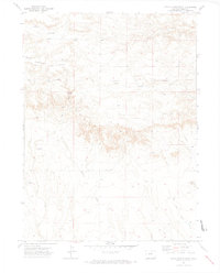
1972 Map of Chalk Bluffs West
USGS Topo · Published 1974About this map
Chalk Bluffs defines the topographic character of this Weld County landscape, where the high elevation of Simpson Mesa gives way to a network of drainage systems. The water economy of the early 1970s is clearly visible through numerous named water sources and windmills, including North Owl Windmill, McCormick Windmill, and Eastman Windmill. These features, alongside several identified wells like Milligan Well and West Simpson Well, indicate a landscape managed for ranching or agricultural utility in an arid environment. The map also records the infrastructure of the era, such as a prominent Pipeline crossing the northern sections and the winding courses of Simpson Creek, Geary Creek, and West Fork Willow Creek. This survey captures a moment when traditional land use depended on these specifically located water points across the high plains.
Find a feature on this map
18 named features on this map. Tap any name to fly to it.
Don’t see what you’re looking for? This feature index may not catch every label — zoom into the map to look around manually.
Map Details
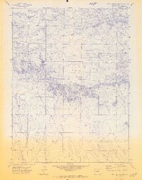
Editions of this 1972 Chalk Bluffs West Map
2 editions found
Other maps of this area

1908 · Eaton
USGS Topo · 1:125,000

1910 · Eaton
USGS Topo · 1:125,000

1911 · Cheyenne
USGS Topo · 1:125,000

1914 · Cheyenne
USGS Topo · 1:125,000

1950 · Cheyenne
USGS Topo · 1:62,500

1954 · Cheyenne
USGS Topo · 1:250,000

1954 · Greeley
USGS Topo · 1:250,000

1957 · Greeley
USGS Topo · 1:250,000

1958 · Cheyenne
USGS Topo · 1:250,000

1958 · Greeley
USGS Topo · 1:250,000