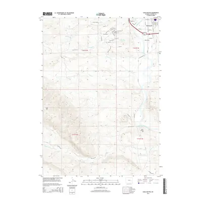
2015 Map of Chalk Buttes
USGS Topo · Published 2015About this map
The North Platte River winds through the eastern portion of this quadrangle, shaping the development of Douglas and its surrounding agricultural lands. The terrain transitions from the river valley to the prominent formations of Chalk Buttes and the rising elevation of Sheep Mtn to the west. This landscape is characterized by a complex network of seasonal drainages, including Bed Tick Cr and Wagon Hound Cr, which have historically dictated ranching boundaries and transportation routes like the Wagon Hound Rd.
Find a feature on this map
59 named features on this map. Tap any name to fly to it.
Don’t see what you’re looking for? This feature index may not catch every label — zoom into the map to look around manually.
Map Details
Editions of this 2015 Chalk Buttes Map
This is the sole edition of this map. No revisions or reprints were ever made.
Other maps of this area

1949 · Orpha
USGS Topo · 1:24,000

1949 · Irvine
USGS Topo · 1:24,000

1949 · Poison Lake
USGS Topo · 1:24,000

1949 · Douglas
USGS Topo · 1:24,000

1949 · Dilts Ranch
USGS Topo · 1:24,000

1949 · Chalk Buttes
USGS Topo · 1:24,000

1949 · Antelope Creek
USGS Topo · 1:24,000

1950 · Poison Lake
USGS Topo · 1:24,000

1950 · Douglas
USGS Topo · 1:24,000

1950 · Orpha
USGS Topo · 1:24,000