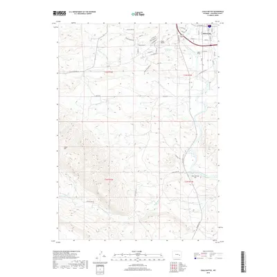
2018 Map of Chalk Buttes
USGS Topo · Published 2018About this map
Douglas serves as the primary settlement anchor in this 2018 survey, situated where the North Platte River snakes through the high plains of Wyoming. The landscape transition is marked by the eponymous Chalk Buttes and the prominence of Sheep Mtn to the southwest, defining the local relief. Water management and geothermal activity are central to the area's character, evidenced by the Chalk Buttes Reservoir and the Douglas Hot Springs located near Warm Springs Hill.
Find a feature on this map
54 named features on this map. Tap any name to fly to it.
Don’t see what you’re looking for? This feature index may not catch every label — zoom into the map to look around manually.
Map Details
Editions of this 2018 Chalk Buttes Map
This is the sole edition of this map. No revisions or reprints were ever made.
Other maps of this area

1949 · Orpha
USGS Topo · 1:24,000

1949 · Irvine
USGS Topo · 1:24,000

1949 · Poison Lake
USGS Topo · 1:24,000

1949 · Douglas
USGS Topo · 1:24,000

1949 · Dilts Ranch
USGS Topo · 1:24,000

1949 · Chalk Buttes
USGS Topo · 1:24,000

1949 · Antelope Creek
USGS Topo · 1:24,000

1950 · Poison Lake
USGS Topo · 1:24,000

1950 · Douglas
USGS Topo · 1:24,000

1950 · Orpha
USGS Topo · 1:24,000