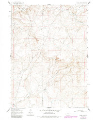
1959 Map of Chalk Hills
USGS Topo · Published 1985About this map
The Little Medicine Bow River and its northern tributary, the South Fork Little Medicine Bow River, define this high-plains landscape along the border of Carbon and Albany counties. The region shows a sparse ranching economy during the mid-century, anchored by the Heward Ranch in the northwest and the Higginson Homestead to the south. The presence of a small Landing Field near the river suggests the importance of air travel for remote ranching operations in this open terrain.
Find a feature on this map
13 named features on this map. Tap any name to fly to it.
Don’t see what you’re looking for? This feature index may not catch every label — zoom into the map to look around manually.
Map Details
Editions of this 1959 Chalk Hills Map
3 editions found
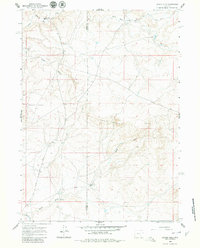
Other maps of this area

1954 · Torrington
USGS Topo · 1:250,000

1955 · Casper
USGS Topo · 1:250,000

1958 · Casper
USGS Topo · 1:250,000

1958 · Torrington
USGS Topo · 1:250,000

1959 · Moss Agate Reservoir
USGS Topo · 1:24,000

1959 · Squaw Spring
USGS Topo · 1:24,000

1959 · Chalk Hills
USGS Topo · 1:24,000

1959 · Bates Creek Reservoir
USGS Topo · 1:24,000
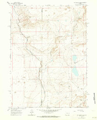
1961 · Big Charlie Lakes
USGS Topo · 1:24,000
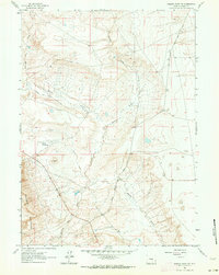
1961 · Walker Draw NW
USGS Topo · 1:24,000