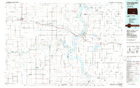
1986 Map of Chamberlain
USGS Topo · Published 1986About this map
Lake Francis Case dominates this mid-1980s landscape, where the Missouri River corridor serves as the primary geographical axis for central South Dakota. The twin settlements of Chamberlain and Oacoma flank the river at a critical crossing point for Interstate 90, illustrating the region's reliance on both the water and the modern highway system. To the east, the extensive Red Lake and the Jorgensen State Wildlife Refuge indicate a terrain managed for conservation and waterfowl. The map reveals a transition from the structured town plats of Pukwana and Kennebec to the more winding, natural drainages of the White River and Moccasin Creek to the south. Significant landmarks such as the Bijou Hills and the winding Horseshoe Bend provide a sense of the varied Missouri Plateau topography before the land flattens into the expansive agricultural sections and game production areas characteristic of Brule and Lyman Counties.
Find a feature on this map
121 named features on this map. Tap any name to fly to it.
Don’t see what you’re looking for? This feature index may not catch every label — zoom into the map to look around manually.
Map Details
Editions of this 1986 Chamberlain Map
2 editions found
Other maps of this area
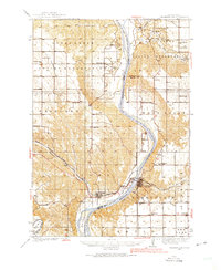
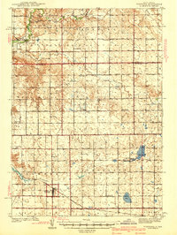
1935 · Chamberlain
USGS Topo · 1:62,500
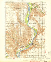
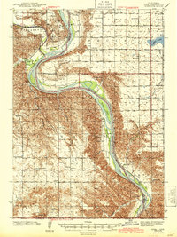
1939 · Chamberlain
USGS Topo · 1:62,500

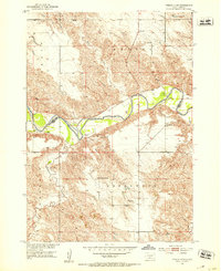
1940 · Iona
USGS Topo · 1:62,500
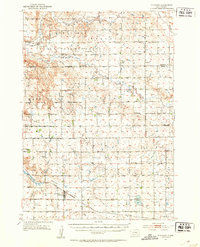
1941 · Pukwana
USGS Topo · 1:62,500

1941 · Kimball North
USGS Topo · 1:62,500
1944 · Iona
USGS Topo · 1:62,500
1951 · Presho 4 NE
USGS Topo · 1:24,000
1951 · Pukwana
USGS Topo · 1:62,500
1951 · Ideal NW
USGS Topo · 1:24,000
1951 · Ideal NE
USGS Topo · 1:24,000