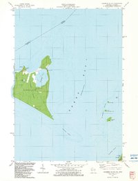
1982 Map of Chambers Island
USGS Topo · Published 1983About this map
Chambers Island dominates this 1982 topographic survey of the waters between Wisconsin and Michigan. The island, located within the township of Gibraltar, features a diverse internal geography including Mackaysee Lake and Mud Lake. Along its northern shores, the Lighthouse and Township Park represent long-standing maritime and local landmarks, while the Diocese Retreat on the eastern coast indicates the island's role as a secluded destination in the late 20th century.
Find a feature on this map
19 named features on this map. Tap any name to fly to it.
Don’t see what you’re looking for? This feature index may not catch every label — zoom into the map to look around manually.
Map Details
Editions of this 1982 Chambers Island Map
2 editions found
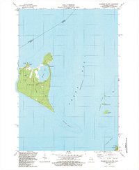
Other maps of this area

1954 · Escanaba
USGS Topo · 1:250,000

1957 · Escanaba
USGS Topo · 1:250,000

1958 · Escanaba
USGS Topo · 1:250,000

1960 · Sister Bay
USGS Topo · 1:62,500

1960 · Ellison Bay
USGS Topo · 1:62,500

1961 · Chambers Island
USGS Topo · 1:62,500

1963 · Cedar River
USGS Topo · 1:62,500

1981 · Marinette
USGS Topo · 1:100,000
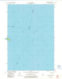
1982 · Green Island
USGS Topo · 1:24,000
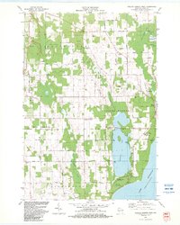
1982 · Baileys Harbor West
USGS Topo · 1:24,000