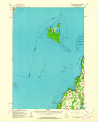
1961 Map of Chambers Island
USGS Topo · Published 1963About this map
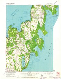
Chambers Island dominates the maritime geography of this survey, anchored in the waters of Green Bay at the dawn of the 1960s. The island's interior reveals a unique landscape where Mackaysee Lake and Mud Lake sit surrounded by the Gibraltar township boundary, featuring a Landing Strip and the Chambers Island Lighthouse at Sand Point. This era shows the island as a distinct pocket of development isolated from the mainland, contrasting with the active shoreline of the Door Peninsula to the east.
Find a feature on this map
39 named features on this map. Tap any name to fly to it.
Don’t see what you’re looking for? This feature index may not catch every label — zoom into the map to look around manually.
Map Details
Editions of this 1961 Chambers Island Map
2 editions found

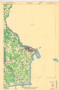
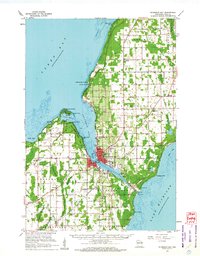
Other maps of this area
1939 · Marinette
USGS Topo · 1:48,000
1949 · Stephenson
USGS Topo · 1:48,000

1954 · Escanaba
USGS Topo · 1:250,000

1954 · Manitowoc
USGS Topo · 1:250,000

1957 · Escanaba
USGS Topo · 1:250,000

1958 · Escanaba
USGS Topo · 1:250,000

1958 · Manitowoc
USGS Topo · 1:250,000
1960 · Sturgeon Bay
USGS Topo · 1:62,500

1960 · Jacksonport
USGS Topo · 1:62,500
1960 · Sister Bay
USGS Topo · 1:62,500