Loading...
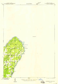
Loading map...1949 Map of Stephenson
USGS Topo · Published 1949About this map
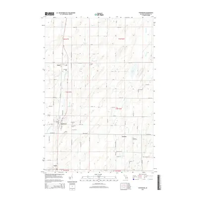
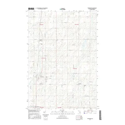
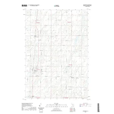
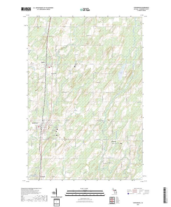
The Menominee River serves as the primary geographic corridor on this map, marking the boundary between Wisconsin and Michigan during the late 1940s. The landscape reflects an era of industrial and agricultural development, characterized by the presence of both the Ingalls-Grand Rapids Dam and the Ingalls Dam. A network of rural communities is scattered across the terrain, including McAllister, Wagner, Goll, and Packard.
Find a feature on this map
25 named features on this map. Tap any name to fly to it.
Don’t see what you’re looking for? This feature index may not catch every label — zoom into the map to look around manually.
Map Details
Date Portrayed1949
Date Published1949
PublisherU.S. Geological Survey
Map TypeTopographic
Scale1:48,000
Physical Dimensions18.3 x 26.3 inches
Editions of this 1949 Stephenson Map
This is the sole edition of this map. No revisions or reprints were ever made.
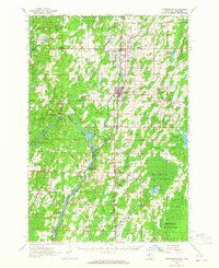
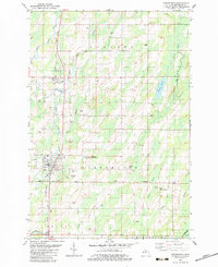
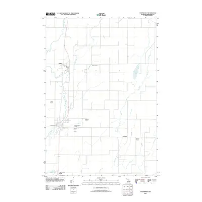
Historical Maps of Stephenson Through Time
8 maps found
Featured Locations
- Wagner, WI
- Menominee Township, MI
- Ingallston Township, MI
- Stephenson, Stephenson Township
- Daggett, Daggett Township
Source Details
SourceU.S. Geological Survey
CopyrightPublic Domain