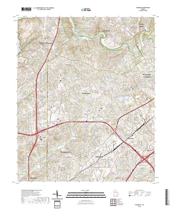
2024 Map of Chamblee
USGS Topo · Published 2024About this map
Chattahoochee River curves across the northern reaches of this Georgia landscape, defining the boundaries between Fulton, DeKalb, and Gwinnett counties. The modern suburban expansion of the northern Atlanta metropolitan area is evident in the dense network of roads and established municipalities like Dunwoody, Brookhaven, and Chamblee. This contemporary survey highlights a mix of significant institutional footprints, from the expansive Dekalb-Peachtree Airport to higher education campuses such as Oglethorpe University and Georgia State University Perimeter College.
Find a feature on this map
50 named features on this map. Tap any name to fly to it.
Don’t see what you’re looking for? This feature index may not catch every label — zoom into the map to look around manually.
Map Details
Editions of this 2024 Chamblee Map
This is the sole edition of this map. No revisions or reprints were ever made.
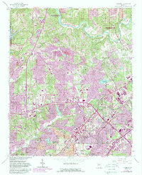
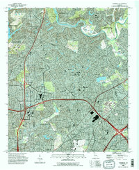
Historical Maps of Dunwoody West Through Time
3 maps found