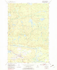
1955 Map of Champion
USGS Topo · Published 1982About this map
The town of Champion and the settlement at Beacon anchor this mid-century look at Michigan's Upper Peninsula, where the rugged industrial landscape meets the dense Escanaba River State Forest. The geography is defined by a dense network of water and rail, including the eastern edge of Lake Michigamme and the Middle Branch Escanaba River. Transportation and industry are prominent, with the South Shore and Atlantic Railroad and the Chicago and North Western lines traversing the terrain, connecting small settlements like Clowry and Wabie.
Find a feature on this map
37 named features on this map. Tap any name to fly to it.
Don’t see what you’re looking for? This feature index may not catch every label — zoom into the map to look around manually.
Map Details
Editions of this 1955 Champion Map
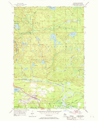
Other maps of this area

1899 · Witbeck
USGS Topo · 1:62,500

1955 · Champion
USGS Topo · 1:24,000

1955 · Diorite
USGS Topo · 1:24,000

1955 · Witch Lake NE
USGS Topo · 1:24,000

1955 · Greenwood
USGS Topo · 1:24,000

1955 · Republic
USGS Topo · 1:62,500

1955 · Republic
USGS Topo · 1:24,000

1955 · Witch Lake
USGS Topo · 1:62,500

1955 · Champion
USGS Topo · 1:62,500

1956 · Michigamme
USGS Topo · 1:62,500