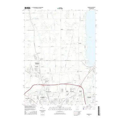
2016 Map of Champion
USGS Topo · Published 2016About this map
The Mahoning River winds through the southwestern corner of this Trumbull County landscape, anchoring the industrial and residential heart of Warren. To the north, the terrain transitions into the more open spaces of Champion and Champion Heights, where the Kent State Univ Trumbull Campus and several historical burial sites, including the Presbyterian Cem and Saint Joseph Cem, indicate a long-standing community footprint. The eastern edge of the quadrangle is defined by the expansive Mosquito Cr Lake, a significant water feature that shapes the local geography near Klondike.
Find a feature on this map
97 named features on this map. Tap any name to fly to it.
Don’t see what you’re looking for? This feature index may not catch every label — zoom into the map to look around manually.
Map Details
Editions of this 2016 Champion Map
This is the sole edition of this map. No revisions or reprints were ever made.
Other maps of this area

1905 · Bristolville
USGS Topo · 1:62,500

1906 · Youngstown
USGS Topo · 1:62,500

1907 · Kinsman
USGS Topo · 1:62,500

1907 · Bristolville
USGS Topo · 1:62,500

1908 · Youngstown
USGS Topo · 1:62,500

1908 · Warren
USGS Topo · 1:62,500

1950 · Cleveland
USGS Topo · 1:250,000

1952 · West Farmington
USGS Topo · 1:24,000

1952 · Southington
USGS Topo · 1:24,000

1954 · Girard
USGS Topo · 1:24,000