
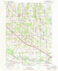
1952 Map of Southington
USGS Topo · Published 1954About this map
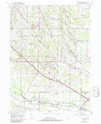
The Connecticut Reserve land patterns are still clearly visible in this early 1950s survey of Trumbull County. Southington serves as a central hub where diagonal routes like State Road and Girdle Road intersect the rigid township grids. The settlement of Delightful sits at a prominent junction in the south, while the community of Phalanx is positioned near the winding course of Eagle Creek and the Erie RR.
Find a feature on this map
28 named features on this map. Tap any name to fly to it.
Don’t see what you’re looking for? This feature index may not catch every label — zoom into the map to look around manually.
Map Details
Editions of this 1952 Southington Map
3 editions found
Other maps of this area

1905 · Bristolville
USGS Topo · 1:62,500

1905 · Garrettsville
USGS Topo · 1:62,500

1906 · Ravenna
USGS Topo · 1:62,500

1907 · Bristolville
USGS Topo · 1:62,500

1907 · Garrettsville
USGS Topo · 1:62,500

1908 · Warren
USGS Topo · 1:62,500

1908 · Ravenna
USGS Topo · 1:62,500

1950 · Cleveland
USGS Topo · 1:250,000

1952 · West Farmington
USGS Topo · 1:24,000

1956 · Cleveland
USGS Topo · 1:250,000
Featured Places
- Warren, OH
- Champion Township, OH
- Warren Township, OH
- Southington Township, OH
- Southington, Southington Township