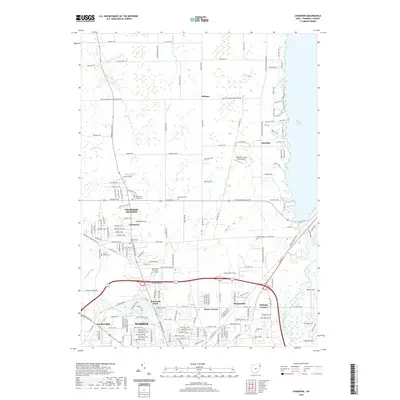
2019 Map of Champion
USGS Topo · Published 2019About this map
The Mahoning River winds through the southern portion of this Trumbull County landscape, defining the industrial and residential edges of Warren. To the north, the terrain transitions into the more open spaces of Champion and Champion Heights, where the Kent State University Trumbull campus serves as a modern anchor. The eastern boundary is dominated by the expansive waters of Mosquito Creek Lake, with its shoreline marked by numerous recreational paths including the Cherokee Trail and Mane Trail.
Find a feature on this map
172 named features on this map. Tap any name to fly to it.
Don’t see what you’re looking for? This feature index may not catch every label — zoom into the map to look around manually.
Map Details
Editions of this 2019 Champion Map
This is the sole edition of this map. No revisions or reprints were ever made.
Other maps of this area

1905 · Bristolville
USGS Topo · 1:62,500

1906 · Youngstown
USGS Topo · 1:62,500

1907 · Kinsman
USGS Topo · 1:62,500

1907 · Bristolville
USGS Topo · 1:62,500

1908 · Youngstown
USGS Topo · 1:62,500

1908 · Warren
USGS Topo · 1:62,500

1950 · Cleveland
USGS Topo · 1:250,000

1952 · West Farmington
USGS Topo · 1:24,000

1952 · Southington
USGS Topo · 1:24,000

1954 · Girard
USGS Topo · 1:24,000